
Tsunami Scientist at the Alaska Earthquake Center, University of Alaska Fairbanks @akearthquake @uafairbanks
Joined September 2010
- Tweets 62
- Following 77
- Followers 60
- Likes 153
14 Photos and videos

Elena Suleimani retweeted

18 Apr 2025
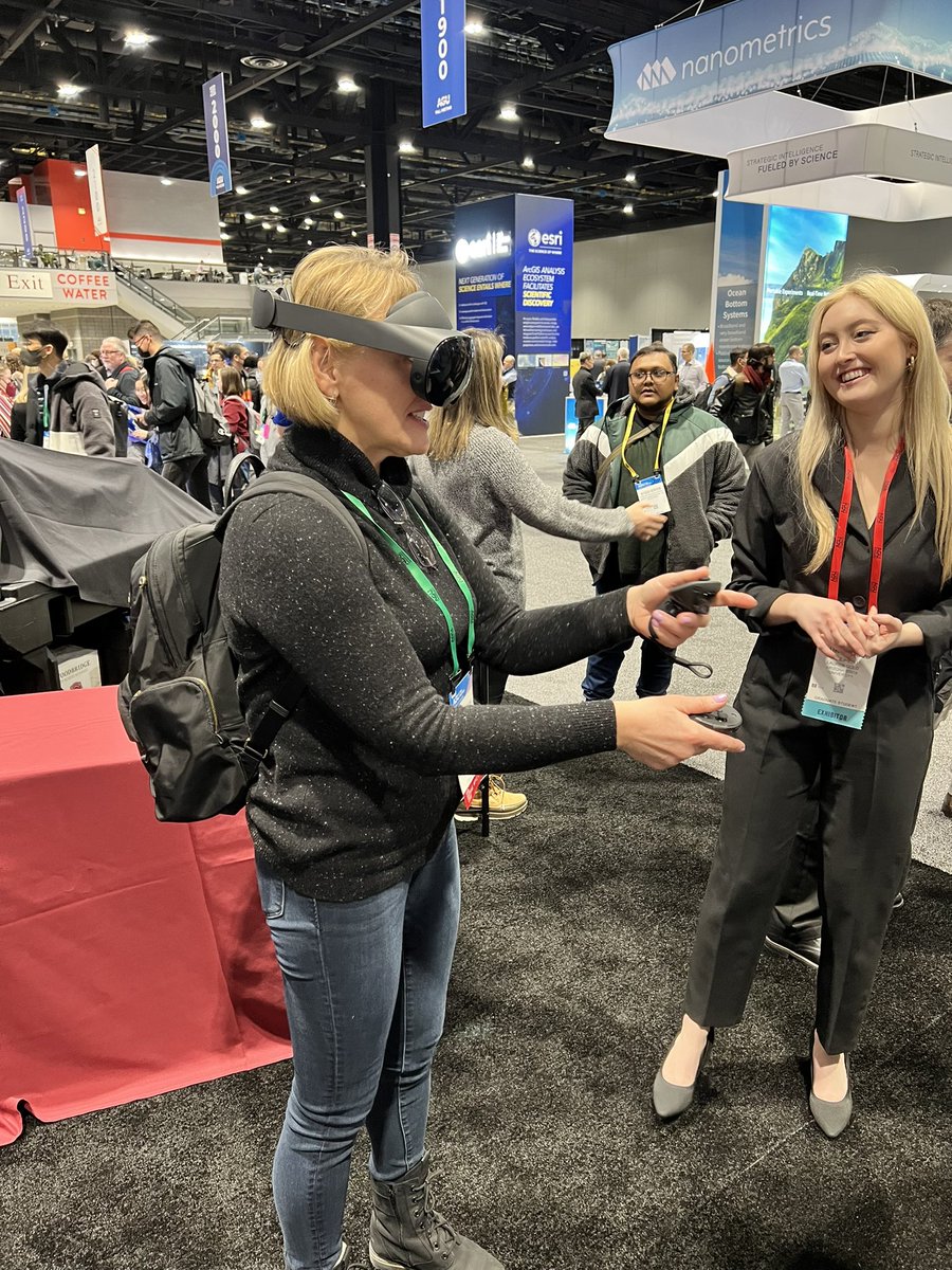
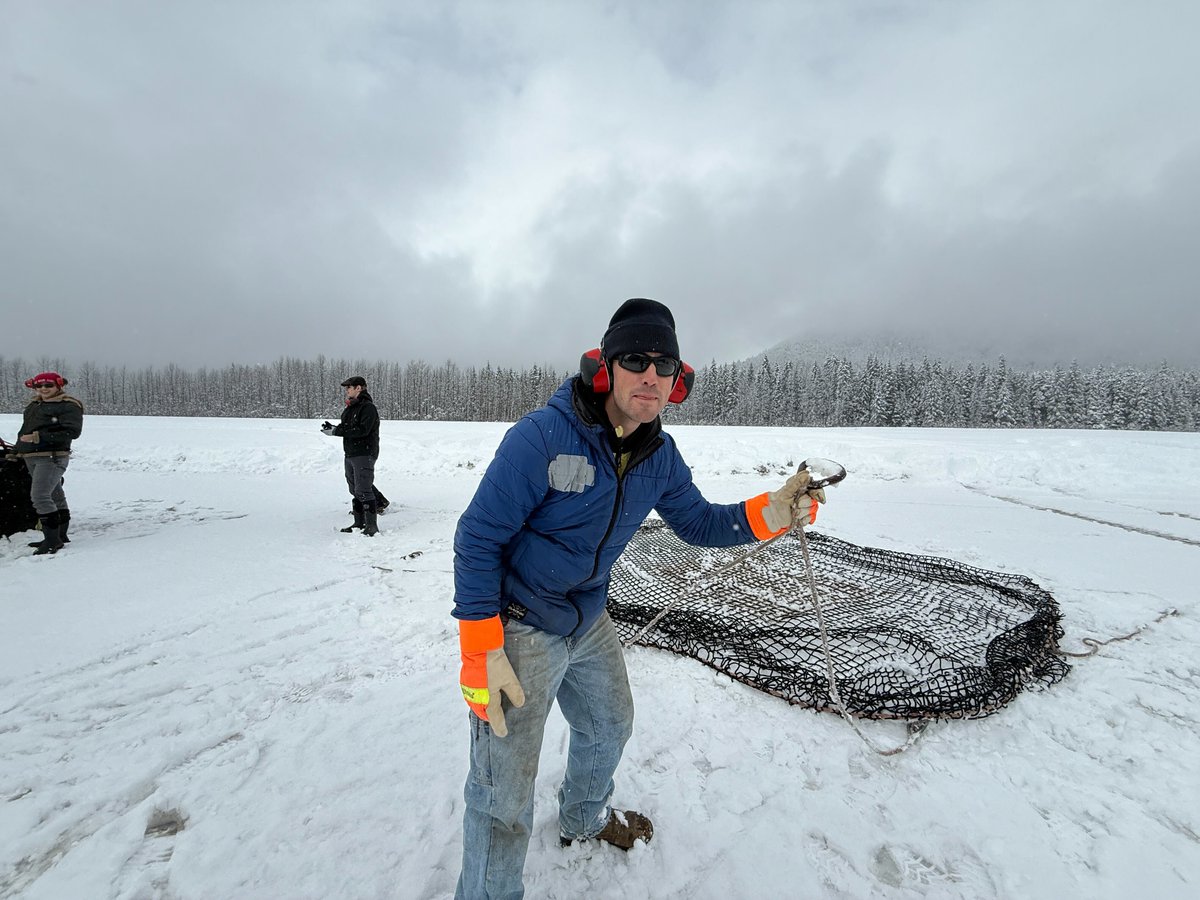
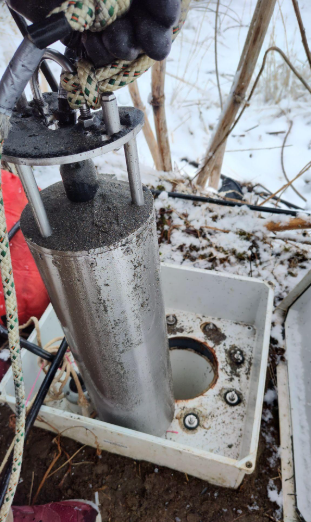
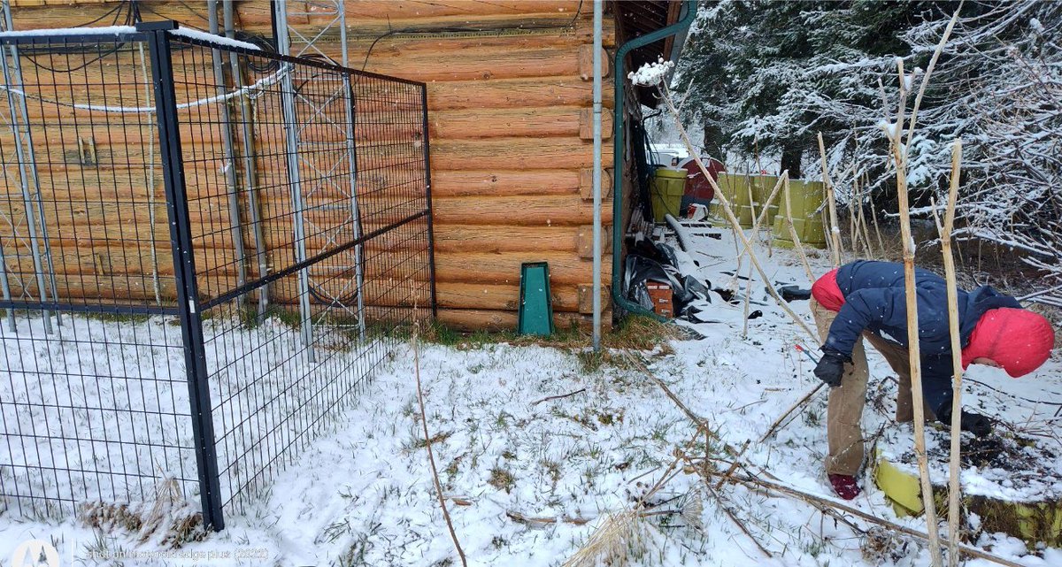
🔆 The sun is out, and so is our field team! We're kicking off this season's first #FieldworkFriday with a trip down to Anchorage, where Ethan and Shah hit five different sites and met up with the rest of the team for some helicopter training! 😎 🚁 Curious how we prep for a season out and about in the field? Check it out here: earthquake.alaska.edu/here-c…
1
15
961
Elena Suleimani retweeted
2 Oct 2024
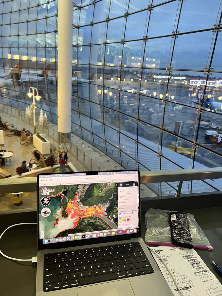
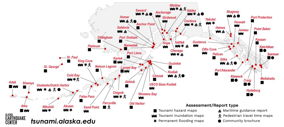
We have some exciting tsunami news! 🌊 FEMA has funded our newest project to bring all tsunami information to one digital space. Since 1996, we have provided tsunami information for more than 60 coastal communities, but we lacked a widely accessible digital space for this information to be shared. Now, with the help of FEMA and ArcGIS, we will be able to expand our existing evacuation zones and routes, inundation lines, maritime guidance documents and maps, pedestrian evacuation travel times, print-ready brochures, and ground subsidence maps offerings to include the ArcGIS files to FEMA and other governmental agencies, our coastal communities emergency officials, and the general public. 🗺️ We are excited to get started on this project and will be back with more updates as it progresses!
12
56
2,757

Elena Suleimani retweeted

13 Feb 2024
Subway in Moscow that Tucker Carlson was talking about x.com/moscowhq/status/174692…
1,921
5,529
28,464
3,444,589

27 Nov 2023
Thank you @csbelliott for a great job writing about our work with Alaska coastal communities. undark.org/2023/11/27/alaska…
1
1
3
149
20 Oct 2023
ShakeOut exercise. I just happened to be at the Emergency Operations Center in Anchorage, in the middle of my tsunami hazard map presentation. With Amanda Loach, director of EOC.
3
160
13 Oct 2023
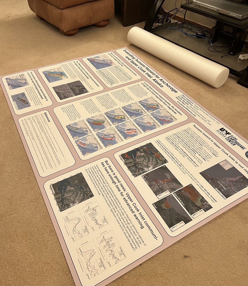
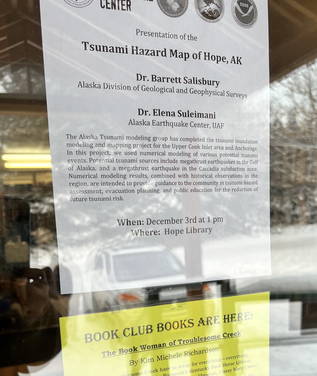
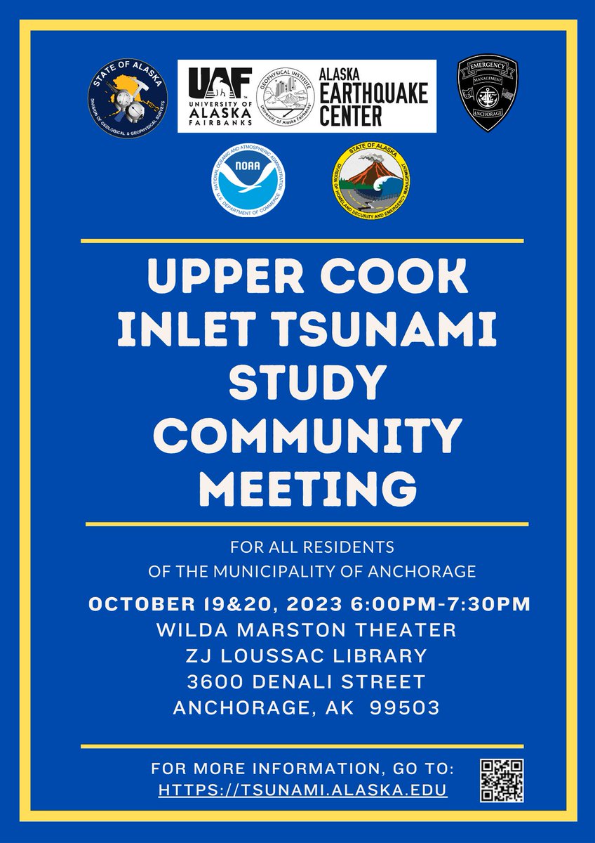
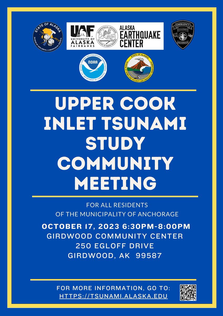
Next week @Barrett_AK_EQs and I will be talking to the public and first responders in Hope, Girdwood, Anchorage and Mat-Su about tsunami hazards in Upper Cook Inlet. It feels great to be able to contribute to public education in the land of great earthquakes and tsunamis.
6 Oct 2023

Along with earthquakes come tsunamis. The Anchorage OEM, @AKEarthquake, @AKDGGS, and @NWSAnchorage will hold community meetings on our newest hazard in Anchorage and Girdwood the week of October 16. Be there or be 🟦!
1
8
620
Elena Suleimani retweeted

14 Sep 2023
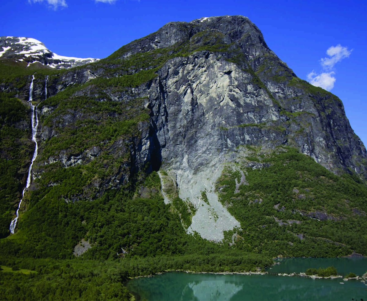
In history: Norway, 13 September 1936 ~1,000,000 m3 landslide off Mount Ramnefjell fell into Loenvatnet Lake generating a 70 m tsunami that killed 74 people. This occurred 31 years after a similar incident and led to near total abandonment of the area #landslidetsunamis
2
10
42
8,086
16 Aug 2023
Our Anchorage tsunami mapping study was featured today in the @ScienceMagazine. Thank you @csbelliott for your excellent work! Thanks to my co-authors on the tsunami study, @Barrett_AK_EQs and Dmitry Nicolsky. It was a team work. science.org/content/article/…
1
8
29
2,280
16 Aug 2023
The animation that highlights the findings of the Anchorage tsunami study: dggs.alaska.gov/webpubs/dggs…
2
4
136
16 Aug 2023
For the first time, the tsunami inundaiton mapping study comes with the Story Map! storymaps.arcgis.com/stories…
3
8
328
16 Aug 2023
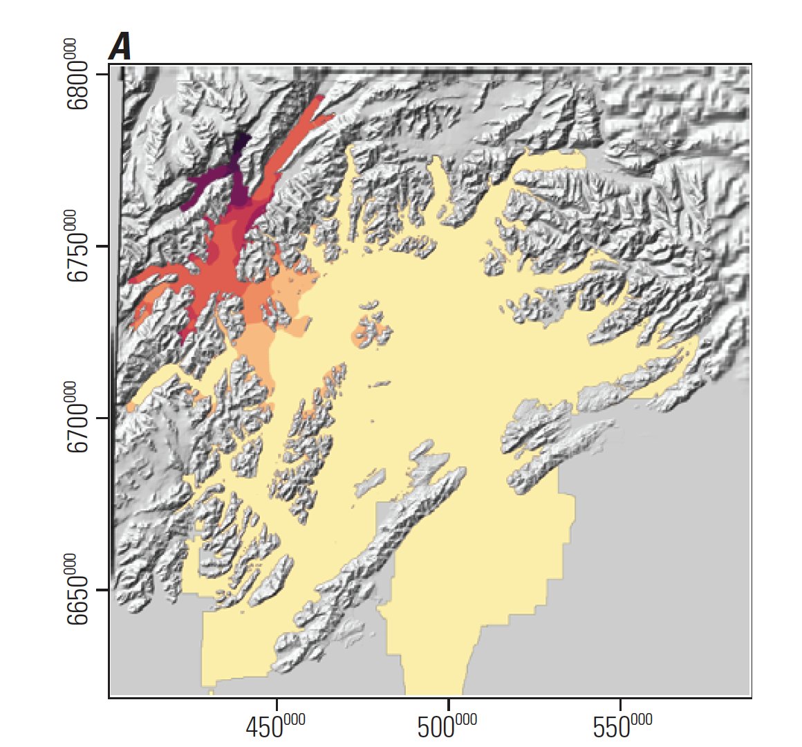
Our Anchorage tsunami study was released this morning! dggs.alaska.gov/pubs/id/3101…, tsunami.alaska.edu
2
8
309
Elena Suleimani retweeted

16 Aug 2023
New release! RI 2023-2, Tsunami inundation maps of Anchorage and upper Cook Inlet, Alaska, doi.org/10.14509/31018
This study is a collaboration with @NWS_NTWC @AlaskaDHSEM, @AKearthquake, @NOAA
2
11
26
3,177
15 Aug 2023
In preparation for the big day tomorrow. Stay tuned. earthquake.alaska.edu/staff-…
1
101
8 Aug 2023
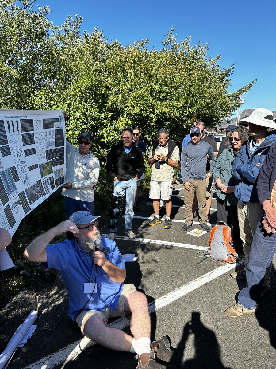
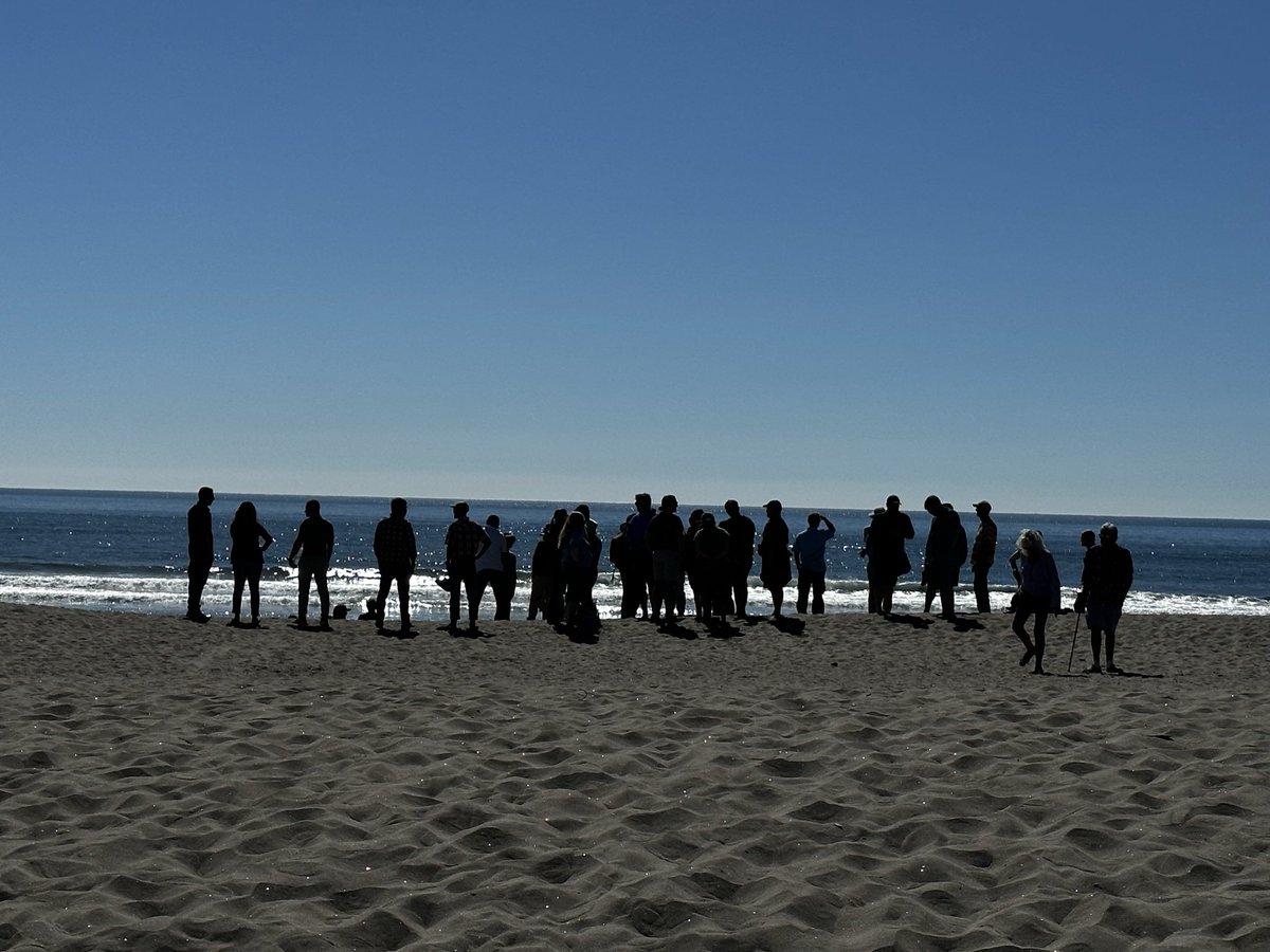
My favorite crowd, the National Tsunami Hazard Mitigation group. Last week, on one of the beaches in the Cascadia subduction zone.
6
181
Elena Suleimani retweeted

19 May 2023
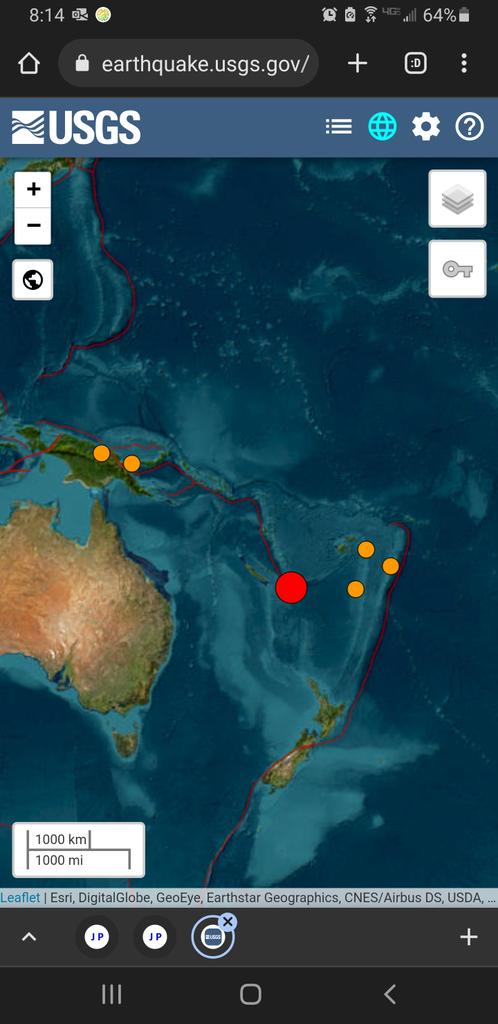
#EarthquakeReport for M7.7 #Earthquake offshore of #NewCaledonia #LoyaltyIslands
Looks like maybe outer rise tensional event
No tsunami threat in coast of USA
Possible tsunami in Vanuatu Fiji New Caledonia
Read abt regional tectonics in earlier report
earthquake.usgs.gov/earthqua…
2
20
74
27,286
Elena Suleimani retweeted

12 May 2023
All of my fellow Alaskans and West Coasters who are frustrated by a cold winter or spring: totally valid. I get it.
But don’t forget to also pay attention to what is going on outside your little part of the globe!

(1 of 5) It’s official:
-Earth had its 4th-warmest #April.
-Southern hemisphere saw its warmest month on record.
-Global ocean temperature sets record high for #April.
bit.ly/3VXggnd
@NOAANCEI #StateOfClimate
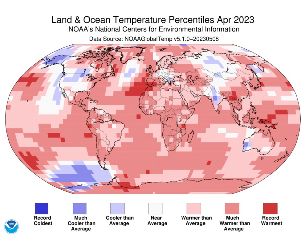
ALT 1-April-2023-Global-Temperature-Percentiles-Map
1
5
288
Elena Suleimani retweeted
10 Mar 2023
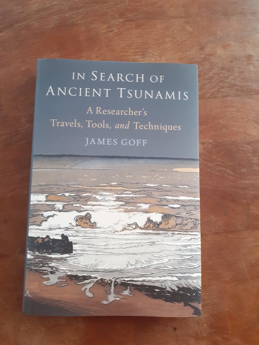
Great news, I now have a new website to go alongside my new book about #ancienttsunamis. Very pleased with how it all looks #thetsunamiprof #newwebsite. Please check it out and let me know what you think profjamesgoff.co.uk
5
15
105
5,996