
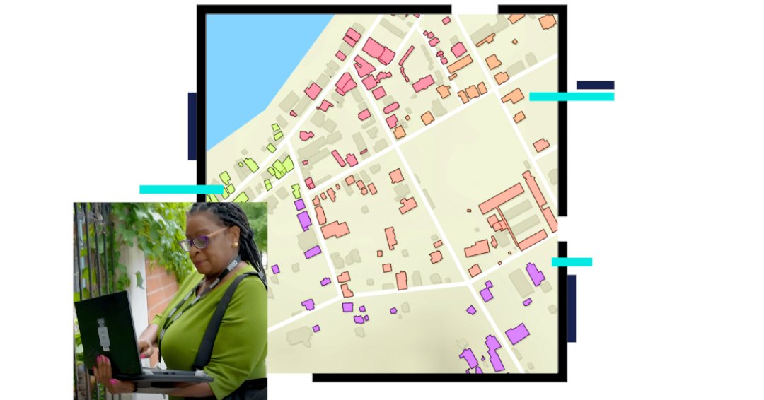
Ready to use Skadi Tilt Compensation? 🎯 In this video, you'll see how Skadi Tilt Compensation can improve field workflows with a couple of examples right outside the office door. 🎥 Launch the video: eos-gnss.com/knowledge-base/…
#FieldDataCollection #ArcGISFieldMaps #GIS #GPS
2
25

1 Dec 2025
Mergin Maps: Collect, Share, and Publish GIS Field Data
Mergin Maps is a powerful mobile GIS solution that lets you record geospatial field data on your smartphone or tablet and instantly synchronize it with QGIS. Say goodbye to paper field notes, manual georeferencing, and lost GPS coordinates — Mergin Maps makes field data collection fast, accurate, and collaborative.
Core Capabilities:
📍 Capture geodata easily — points, lines, areas, photos, and QR/barcode scanning
📊 Instant visualization — view your data and location on the map while in the field
🔄 Seamless synchronization — sync projects with QGIS desktop or other field users with a single click
☁️ Cloud-based storage & versioning — automatically track changes and merge edits from multiple surveyors
⚙️ QGIS integration — compatible with your existing QGIS projects and fully supports all analysis and map production tools
Applications / What You Can Do:
🔹 Agriculture — sample soil and harvest data for food quality monitoring
🔹 Water utility — record pressure readings or leak locations
🔹 Forestry — track forest health and planting operations
🔹 Construction & Engineering — monitor construction progress and keep digital records
🔹 Environmental Protection — digitize inspections and field observations
🔹 Local Government — inspect properties and enhance public safety
🔹 Telecommunications & Transportation — track teams, assets, and field infrastructure
🔹 Natural Resources — capture geological surveys and drilling logs
Use Mergin Maps to take your QGIS projects into the field, sync changes instantly, and make sure your team always works with the latest spatial data.
👷Ready to go from beginner to professional and job-ready in GIS? We’ve created a complete blueprint to guide you step-by-step through QGIS, taking you from your first map to advanced, real-world GIS projects: whop.com/orion-terrametrics/…
😉Follow Godwin Murithi for more GIS tools & tech
#MerginMaps #GIS #QGIS #FieldDataCollection #RemoteSensing

1
11
55
2,380

19 Apr 2024
Ready to level up your field data collection game? 📊 Our latest blog post is packed with Tips & Tricks: #FieldDataCollection Best Practices! 👉hubs.li/Q02tr5Hb0
Got questions or want to share your own tips? Drop them in the comments below! #BestPractices #DataAccuracy
2
8
490

22 Sep 2023
🌟 Right now, our new trainees are immersed in their orientation program, gearing up for field data collection! 📊 They're getting acquainted with SEMA values and mastering the SEMA tools. Stay tuned for their incredible journey and upcoming pilots! 🚀📋 #FieldDataCollection

4
110

26 Mar 2023
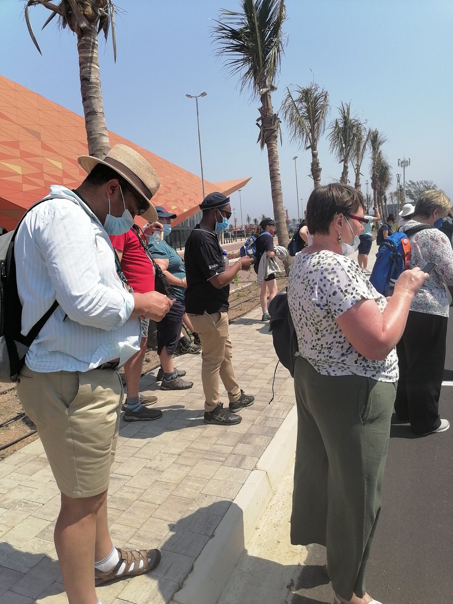
The moment I was sharing my experiences on the fieldwork with fellow mappers after a return from the field
#knustyouthmappers
#fielddatacollection

4
76

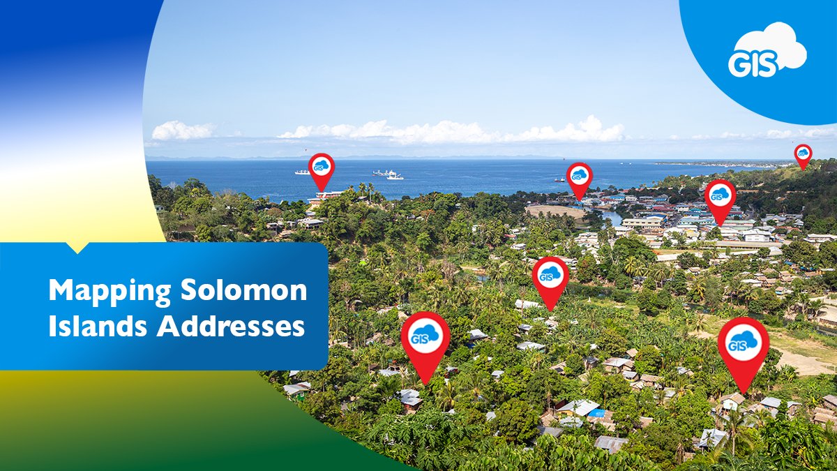
🌏📮 Learn how we helped Solomon Islands Postal Corp. create a National Address Database! 🎉
✅ Field data collection
✅ Custom mapping
✅ Geocoding
✅ Custom forms
#datacollection, #mapping, #fielddatacollection, #customforms, #geocoding
giscloud.com/blog/addressing…
1
2
393

16 Feb 2023
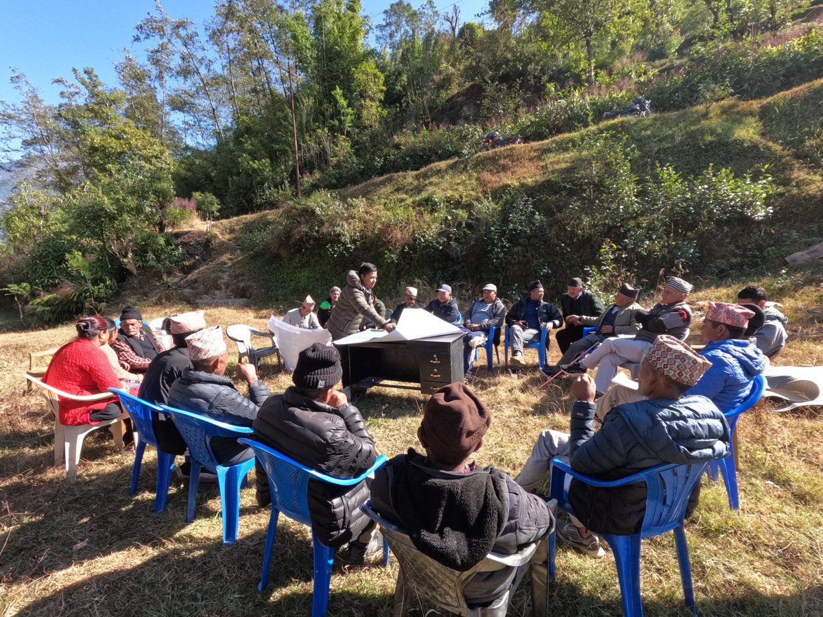
Never tired of discussing and presenting when the topic is "𝗠𝗔𝗣".
#Landuse #fieldsurvey #fielddatacollection #ruralnepal
1
9
383

12 Oct 2022
EA Engineering uses EQuIS for their environmental data management workflows. Read more: eaest.com/projects/analytica…
#EDMS #environmentaldatamanagement #fielddatacollection

2

7 Oct 2022
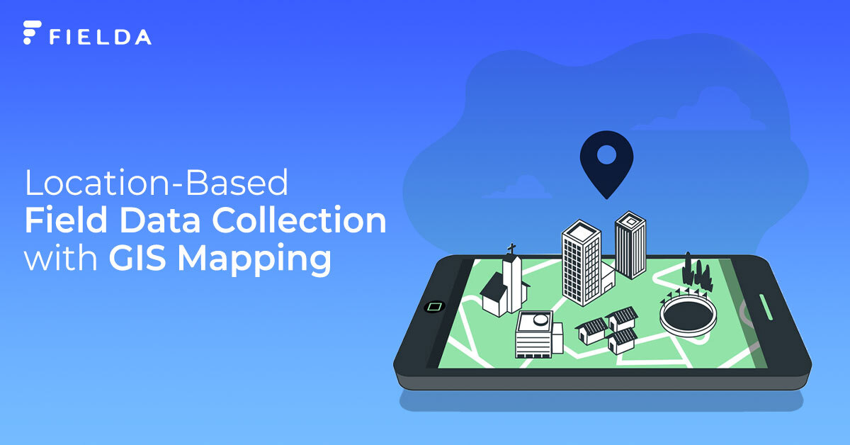
Check out how Fielda's GIS Map helps in Data Collection: bit.ly/3KbNGsl
#FieldaForYourField #FieldDataCollection #MobileDataCollection #DataCollectionMadeSimple
1
25 Aug 2022
Travelled these all routes today for collecting street imagery for @mapillary . Tough day at field!
#fielddatacollection #mapillary #GoProcamera #Osmtracker
1
11
3 May 2022
In the end, we are all data and the data is made effective with Fielda. Download the app now! bit.ly/3FdzDjz
#FieldaForYourField #FieldDataCollection #OilandGasIndustry #OilGas #DataCollectionMadeSimple #MobileDataCollection
1
1

12 Jan 2022
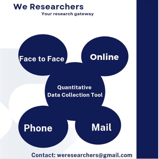
Which of the following quantitative data collection tools would you rather want to use for your research work or paper?
Irrespective of the one you choose, we are always here to handle all you research needs
Send us a DM
#fielddatacollection #fieldresearch #academicresearch
3
1
2

4 Oct 2021
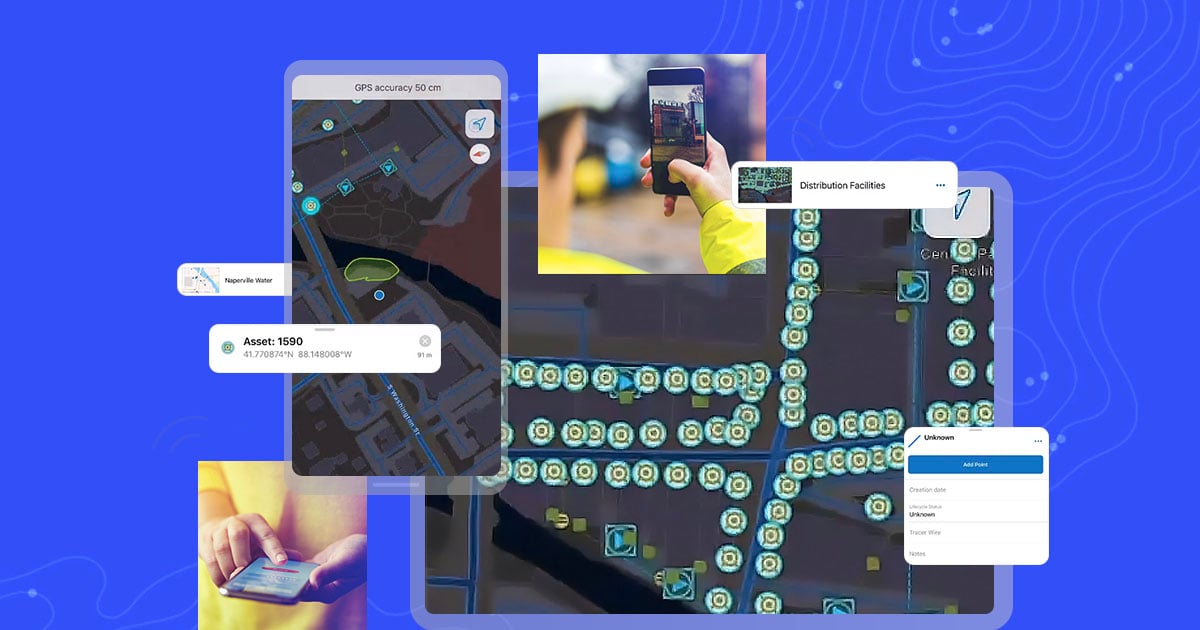
Learn about high accuracy GPS in @ArcGIS Field Maps
Seminar Wed. Oct. 6th, 10am (MT)
directionsmag.com/webinar/11…
Presented by @Esri and @EosGNSS
#ArcGISFieldMaps #FieldMaps #GNSS #GPS #fielddatacollection
2

1 Oct 2021
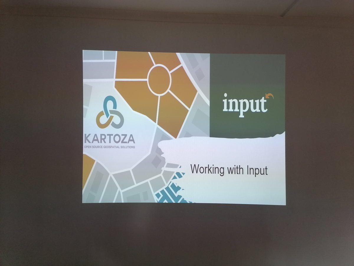
The use of GIS in the Classroom stimulates critical thinking, promotes global awareness, strengthens, and extends technological skills. It gives the teacher & learner the power of geography.
@SAGTA
@lutraconsulting
@qgis
#Input
#FieldDataCollection
#GISInTheClassroom
#Kartoza
4
15

18 Aug 2021
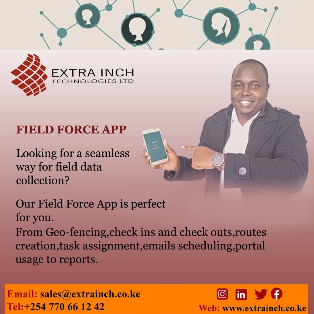
Is your Sacco or company in search for a solution in field data collection?
Look no further, our Field Force App will solve your problem and put your mind at ease with daily reports.
#FieldForce
#fielddatacollection
#innovations
extrainch.co.ke
4

10 Aug 2021
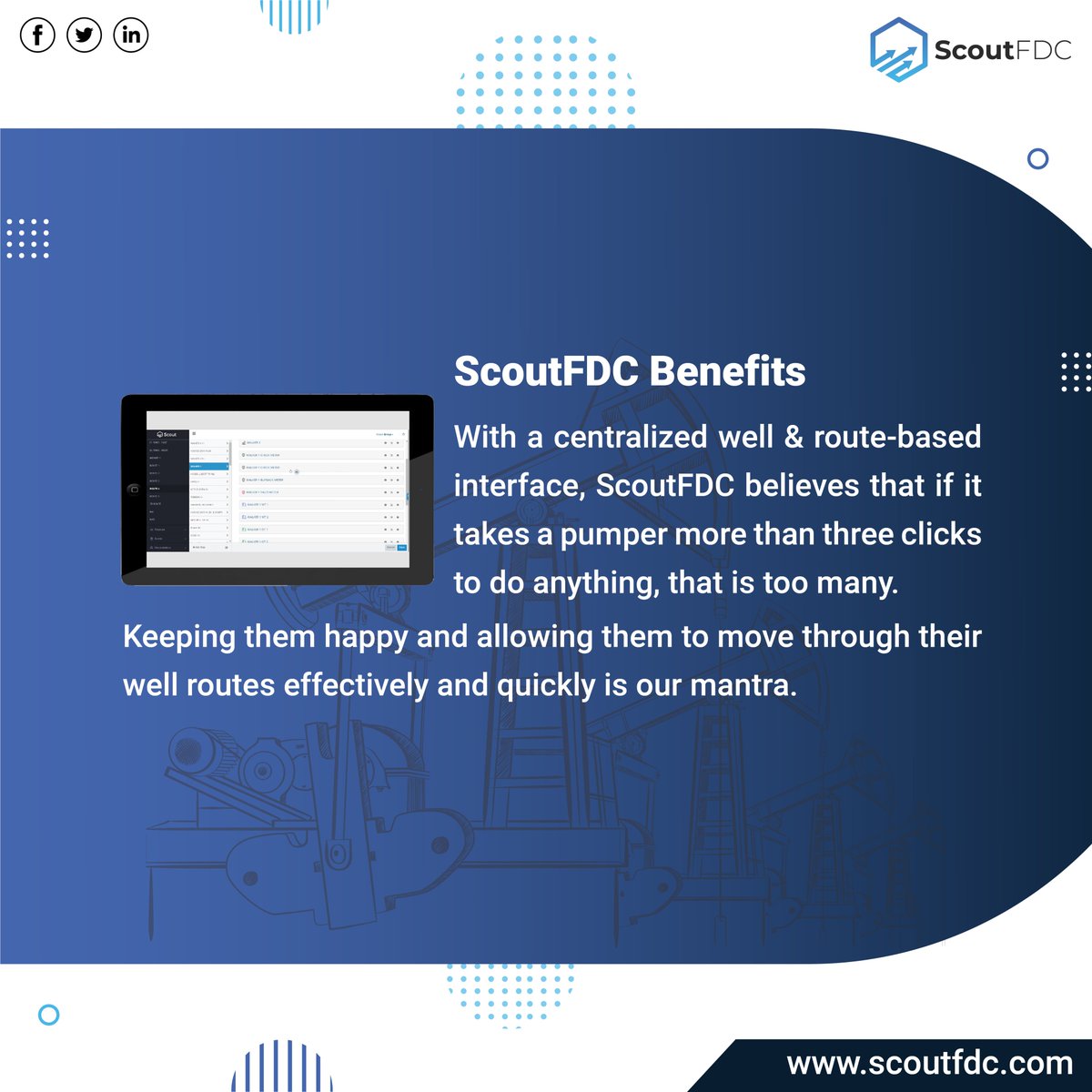
Does a pumper's job revolve around data entry or around well optimization?
Let's have a look at the customer pain and ScoutFDC benefits.
#oilandgascompanies #analytics #oilandgasdata #oilandgasexploration #fielddatacollection #oilandenergy #oilandgas #scoutfdc #scoutgroup


9 Dec 2020
Opting for #paperlesssurveys can prove to be the best decision for your #fielddatacollection whether it is #marketresearchsurveys or #electionsurveys.Surveyors who go on the field to collect data need not carry all the paperwork. They can easily conduct the #survey with #GoSurvey
6

6 May 2020
Schedule your PCS version 7 to PCS AXIS migration BEFORE JUNE 30, 2020 and take advantage of these discounts! Contact us today! bit.ly/2W3SXKS #compliancesoftware #fielddatacollection #survey #pipelinecompliancesoftware #pipelinesafety

2
3

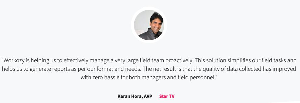
We have been delivering premium field force management products to our clientele. Read how Workozy resolved their pain points and enhanced their growth. #StarTV #FieldForceManagement #FieldDataCollection #FieldForceAutomation
3
4

Training Course in Mobile Data Collection using SurveyCTO
#SurveyCTO
#mobiledatacollection
#fieldDatacollection lnkd.in/gM7rGGg
2