
Jun 12
Landair Surveys Uses SimActive Correlator3D for Planned Burns Mapping in Australia: ift.tt/irnGaYq
1
33

Jun 9
SimActive announces that Correlator3D software is used by Landair Surveys to rapidly generate orthomosaics for planned burns mapping projects across Australia. Learn more: hubs.ly/Q04kHJZ90
#AerialSurvey #Photogrammetry #RemoteSensing #Mapping #Drones
17
Jun 8
Featured in Dronelife: SimActive brings Gaussian splatting capabilities to Correlator3D, expanding new possibilities for photogrammetry and immersive 3D visualization ➡️ hubs.ly/Q04ktqVt0
#AerialSurvey #Photogrammetry #RemoteSensing #Mapping #Drones
15

సిమ్ యాక్టివ్గా ఉండేందుకు
బెస్ట్ మినిమం రీఛార్జ్ ప్లాన్స్ ఇవే..
#simactive #airtel #jio #bsnl #etvdigital
1/5

8
97
520
122,315

25 Oct 2025
Airtel Cheapest Plan: एअरटेलचा बजेट-फ्रेंडली प्लॅन, वर्षभर सिम राहिल सक्रिय; किंमत किती?
#AirtelPlan #CheapestAirtel #BudgetFriendlyRecharge #SIMActive #UnlimitedCalls #MobileData
saamtv.esakal.com/ampstories…
91

19 Apr 2025
તમારા આધાર કાર્ડ પર કેટલાં સિમકાર્ડ છે એક્ટિવ? આ રીતે કરો ચેક
#Aadharcard #SIMcard #SIMactive #vtv #vtvgujarati #vtvnews
vtvgujarati.com/news-details…
261

8 Mar 2025
Jio ଆଣିଲା ଶାନଦାର ପ୍ଲାନ: କମ୍ ଟଙ୍କାର ରିଚାର୍ଜ କଲେ ୧୧ ମାସ ଯାଏ ଆକ୍ଟିଭ୍ ରହିବ ସିମ
nandighoshatv.com/jio-specia…
#reliancejio #specialplans #SimActive #longtime #lowcost #RechargePlan #NandighoshaTV
2
156

3 Mar 2025
तुमच्या नावावर किती सिम अॅक्टिव्ह आहेत? ‘या’ सोप्या स्टेप्सच्या मदतीने काही मिनिटांत मिळवा माहिती
#Adharcard #aadharlinkedsim #mobilenumbers #SimActive #SimRegistration #technology #technews
loksatta.com/tech/check-how-… via @loksattalive
2
200

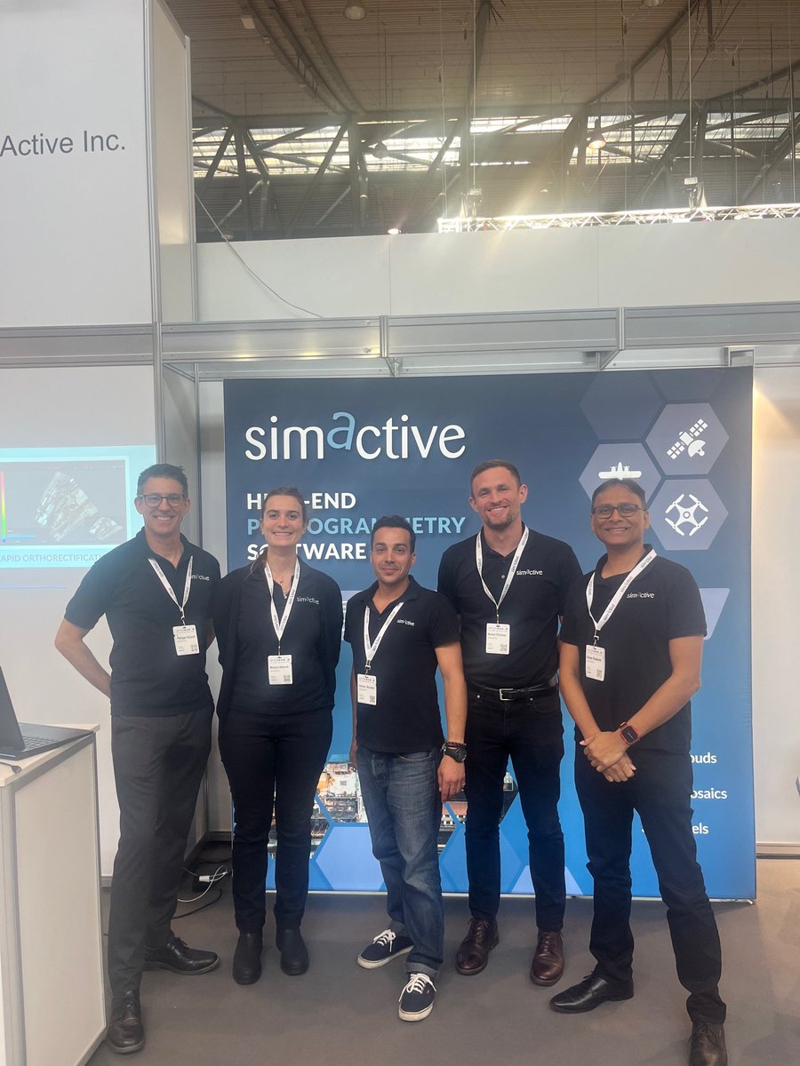
25 Sep 2024
The handsome folks at Simactive are working hard at the #intergeo2024 show. They are showing their products at Intergeo in Germany this week.
3
401
20 Feb 2024
SimActive announces the use of Correlator3D with multi-camera drone payloads for improved 3D mapping. The software allows users to import oblique and nadir camera configurations to develop better 3D #mapping products ➡️ hubs.ly/Q02ltxm_0
#photogrammetry #drones #LiDAR
2
47
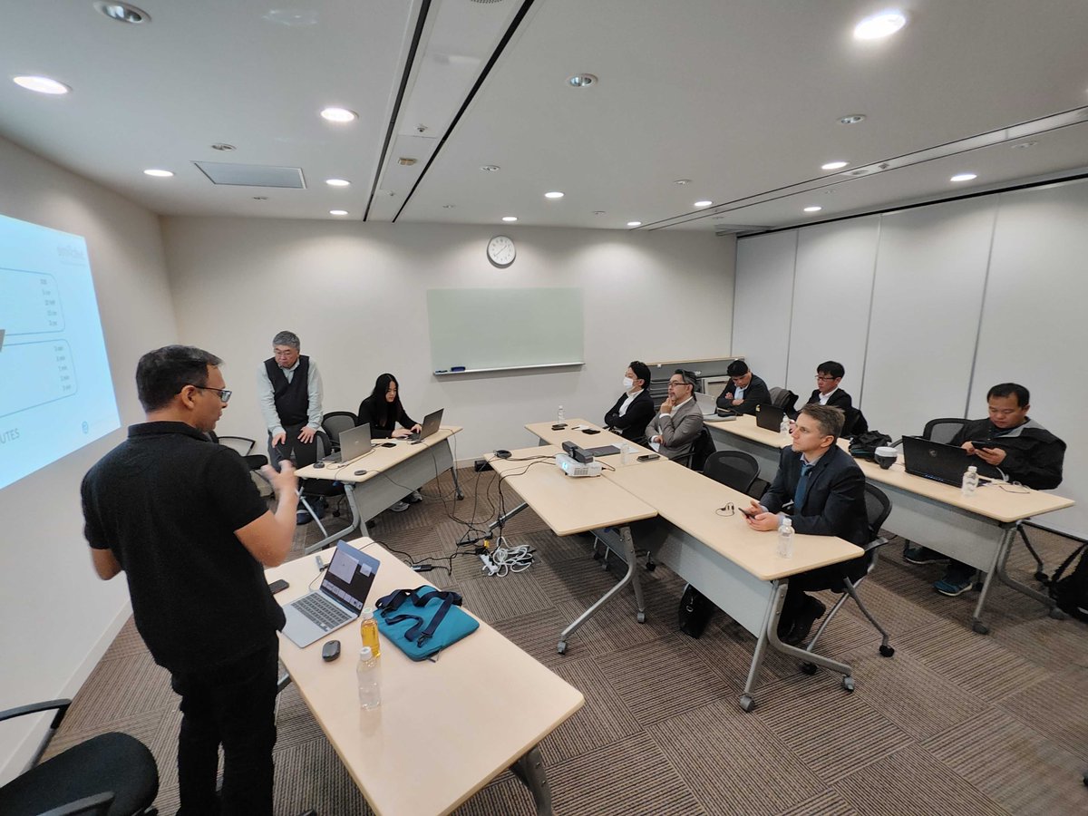
6 Dec 2023
Simactive is holding workshops this week in Japan. We're glad to spend time with our clients and partners.
#photogrammetry #drones #LiDAR #mapping

3
51
12 Sep 2023
SimActive is collaborating with Microsoft to demonstrate a cloud solution for real-time data processing, analysis, and global defense and intelligence decision-making. Learn more ➡️ hubs.ly/Q021Rzxb0
#photogrammetry #Drones #LiDAR #mapping
1
1
76

14 Aug 2023
#WingtraOne combines vertical takeoff and landing with long-range flights. The vertical landings on spot allow you to operate the WingtraOne everywhere, even in confined spaces and on rocky grounds. In combination with the efficiency and forward flight of a fixed-wing #drone, you now can accomplish large surveying flight missions that you weren't able to do up until today.
WingtraOne carries the best-in-class mapping cameras for your work. They can be swapped in no time on the field. With the Sony RX1RII Wingtra offers a 42 megapixel full-frame camera with an ultra low distortion lens that enables the unprecedented combination of image resolution and flight coverage. WingtraOne sets the new benchmark for surveying great accuracy. Eliminating ground control points from your workflow by activating the state-of-the-art #PPK surveyors obtain a centimeter accuracy and superior reconstruction results.
A new level of simplicity is brought to you by Wingtra's surveying mission planning and in-flight monitoring software WingtraPilot. Great features make planning easy and ensure mission success. WingtraOne increases operation safety. By the push of a button WingtraOne is fully autonomous from takeoff and landing. It keeps the operator in a safe distance at all times
After completing the survey WingtraOne gently touches the ground eliminating wear and tear. Don't worry about broken wings and damaged cameras through rough belly landings.
The WingtraOne is the trusted VTOL drone that exceeds the highest expectations of geospatial professionals around the world. It is designed to be integrated in every workflow. Start taking better decisions based on accurate aerial data with the WingtraOne today.
WingtraOne data outcomes are compatible with major photogrammetry software such as Pix4DMapper, 3DR Site Scan, DroneDeploy, Delair Aerial Intelligence, Bentley, Propeller, SimActive Correlator3D, Agisoft Metashape and many more.
Wingtra develops, produces and commercializes professional surveying drones that carry the best-in-class sensors for survey-grade aerial data collection. The technologically superior VTOL drone is used by geospatial professionals in applications that range from surveying and mining to construction and wildlife monitoring.
Wingtra was founded in 2016 at ETH Zurich in Switzerland.
#Surveying #GIS #Construction #Infrastructure #Mining #Aggregates #EnvironmentalMonitoring #Agriculture #Irrigation #Photogrammetry #Imagery
youtube.com/watch?v=KwkCgDMK…
1
3
170
13 Jun 2023
Through continuous innovation and significant product updates since its foundation in 2003, SimActive has become a worldwide leading developer of photogrammetry software. 🎥 Learn more about our history ⏩ hubs.ly/Q01TblxN0
#photogrammetry #drones #lidar #mapping

1
2
37
30 May 2023
This year we are celebrating the 20th anniversary of SimActive! Through continuous innovation, #SimActive remains at the forefront of innovation as the technical standard the industry is measured against.
#photogrammetry #drones #lidar #mapping
2
40
13 Apr 2023
Join host Eric Andelin, Senior Workflow Specialist, and Louis Simard, CTO at SimActive, in the upcoming webinar: Generating Point Clouds at Higher Densities ➡️ hubs.ly/Q01LltQc0
#photogrammetry #drones #lidar #mapping
1
2
47
28 Feb 2023
Our latest webinar: Minimizing Cost of Drone Mapping Projects, with host Eric Andelin and guest Robert Thomson is now available on our website! Watch it now: hubs.ly/Q01BMmpz0
#dronemapping #dronesurvey #aerialmapping #aerialsurvey #simactive

2
54
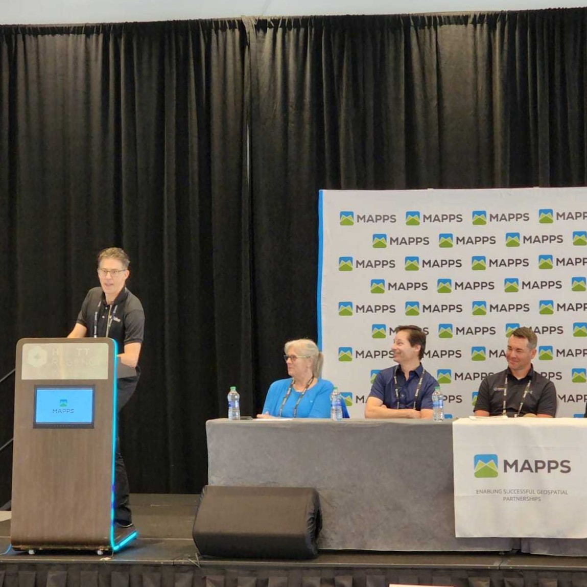
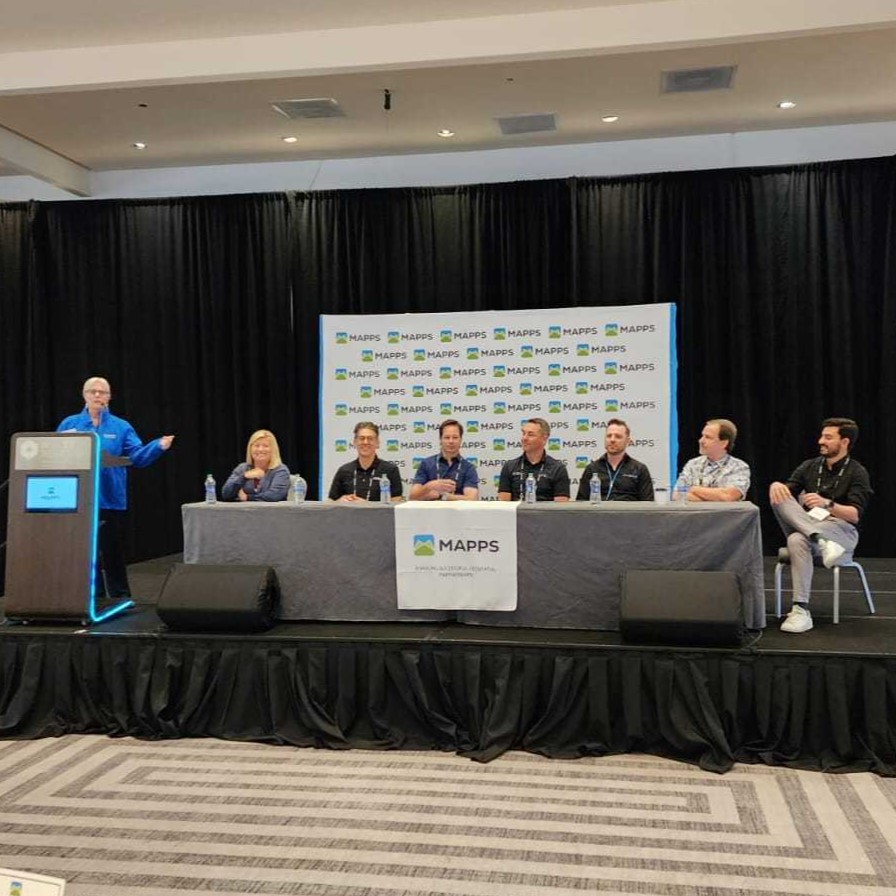
21 Feb 2023
We are happy to be at the Winter Mapps Conference, where our CEO, Philippe Simard, presented this morning.
#MAPPS #Geospatial #Correlator3D #Simactive
1
2
188
14 Feb 2023
The #Mapps Winter Conference is next week & #SimActive CEO, Dr. Philippe Simard will be there to answer your questions about #Correlator3D Version 10. Are you getting excited for our biggest update in 20 years?
#photogrammetry #geospatial #dronemapping

2
3
299
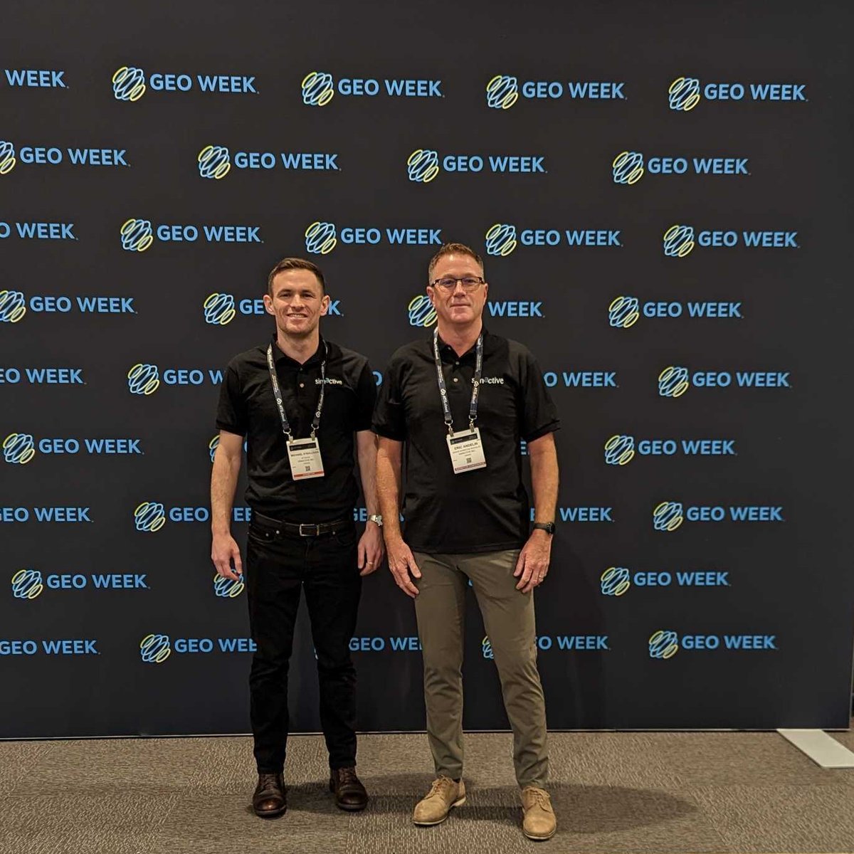
13 Feb 2023
We have three exciting days ahead at #GeoWeek ! Visit us at booth #1113 if you are looking for a solution with faster processing speeds and higher accuracy. Contact us to get a free exhibit pass: simactive.com/event-form
#simactive #geospatial #dronemapping
1
2
132