
- Tweets 3,411
- Following 79
- Followers 136,564
- Likes 1,524


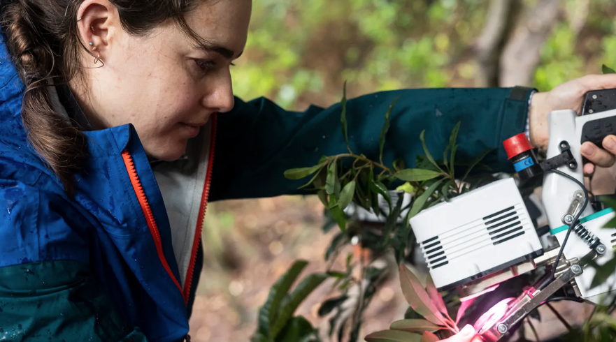
ALT A person wearing a blue jacket peers at scientific instruments to measure carbon dioxide levels in vegetation while illuminating a leaf with pink light. Credit: Josh Fisher/Chapman University
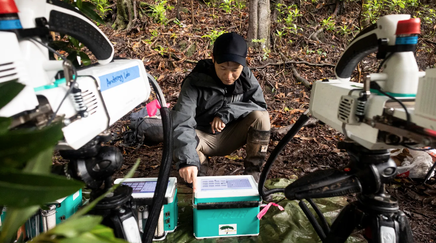
ALT A person squats in a forest and adjusts a machine in a box while surrounded by scientific instrumentation. Josh Fisher/Chapman University


ALT Astronaut Anne McClain takes a selfie during a spacewalk. The camera and fellow astronaut Nichole Ayers are visible in her visor's reflection. Credit: NASA/Anne McClain

ALT The C-20A aircraft, based at NASA’s Armstrong Flight Research Center in Edwards, California, flies over the Sierra Nevada Mountains in California for the Dense UAVSAR Snow Time (DUST) mission on Feb. 28, 2025. Credit: NASA/Starr Ginn

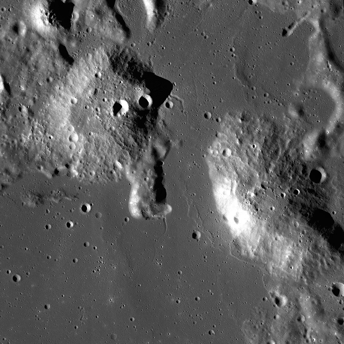
ALT Orbital view of mountainous terrain on the Moon. The Gruithuisen Domes protrude from the surrounding lunar landscape and are pockmarked with craters.
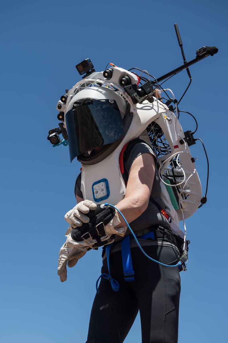
ALT Person outdoors under a blue sky, wearing a partial mockup of an astronaut EVA suit, adjusting a device attached to the cuff of her wrist. The suit has a dark, tinted visor. Wires connect many points on the suit's periphery, and devices on various mounts extend from its skeletal structure. Photo credit: NASA/Josh Valcarcel


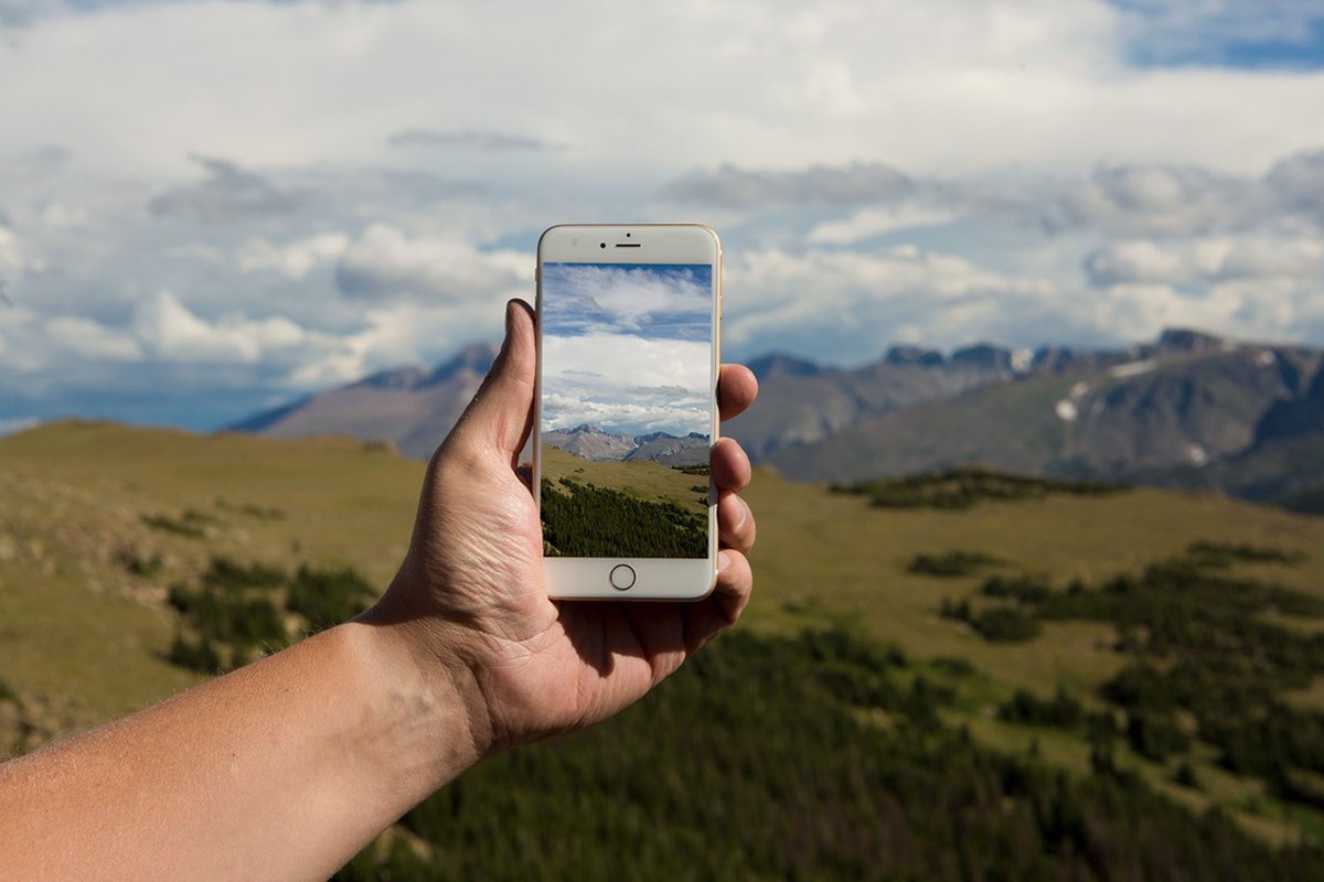
ALT A person holds a mobile phone out at arms length to take a picture of a mountain range in the distance under a cloud-filled sky
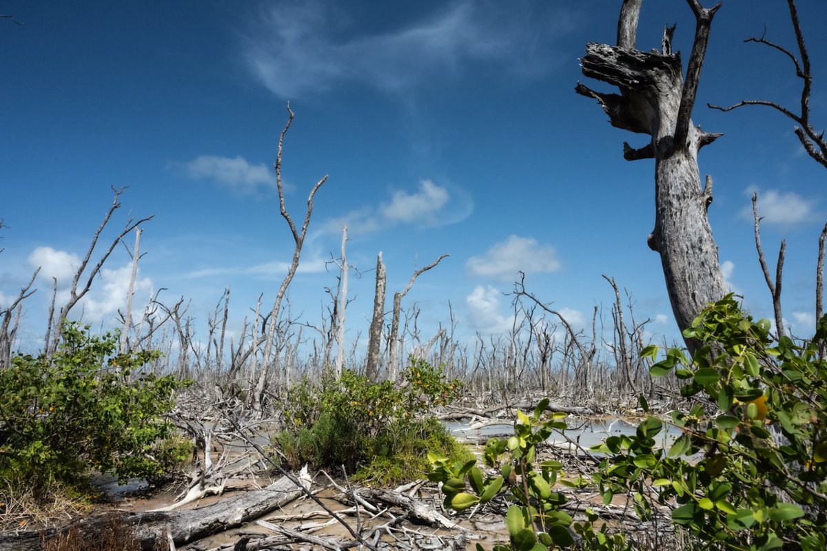
ALT A photo of a barren mangrove stand, an example of Florida's ghost forests. Very few of the trees have leaves but there is some foliage in the foreground. The sky is bright blue.
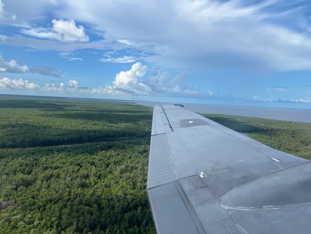
ALT Aerial photograph of Florida mangroves. The plane wing is visible in the bottom right of the image. The mangrove trees are green and there are some areas where water is visible. The sky is blue and has puffy clouds.

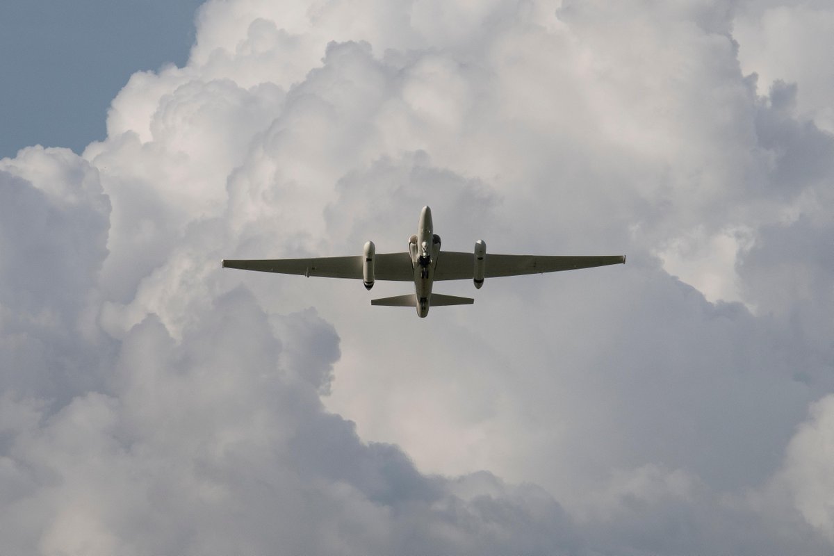
ALT NASA Armstrong Flight Research Center’s ER-2 aircraft flies just above the height of thunderclouds over the Floridian and Caribbean coastlines to collect data about lightning glows and terrestrial gamma ray flashes. Credit: NASA/Carla Thomas
ALT NASA flew an aircraft equipped with Uninhabited Aerial Vehicle Synthetic Aperture Radar (UAVSAR) flew above California fires on Sept. 3 and 10. Credit: NASA/JPL-Caltech

ALT Students onboard NASA’s DC-8 aircraft, the largest flying science laboratory in the world, help scientists from NOAA, the National Oceanic and Atmospheric Administration with a science project investigating air quality and non-vehicular pollution sources called AEROMMA, which measures Atmospheric Emissions and Reactions Observed from Megacities to Marine Areas. Credit: NASA/Carla Thomas

ALT A 3-month-old beaver kit enjoys its new home after its family was relocated from a concrete drainage ditch in urban Aurora, Colorado, to a private ranch in the foothills of the Rocky Mountains.

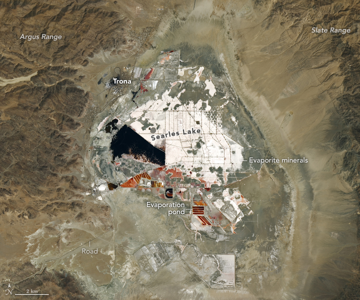
ALT Landsat 8 image taken on August 15, 2024, that shows Searles Lake and its surrounding area. It is shaped like a loose semicircle, and a white crust of salty evaporite minerals is visible across most of the lake bed. The lake also contains a small pool of dark blue water from about 8 to 9 o’clock. The area around the white crust of Searles Lake is sparsely green except for the bottom edge, which is covered in red and black evaporation ponds. The lake’s evaporation ponds are filled with brine in the spring, and when the water evaporates in the summer, it leaves behind salt crystals and minerals for mining operations. A small, isolated town labeled Trona– named after the sodium carbonate compound– is located to the top left of the lake. Yellow-green mountain ranges flank the lake to the east and west. In the bottom left corner, a road extends from Searles Lake to beyond the mountains.
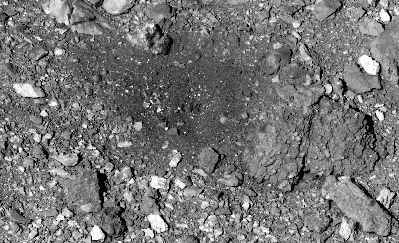
ALT A black and white image of the spot where OSIRIS-REx captured the Bennu asteroid sample. The image features a close-up of a rocky rubble pile, with rocks of various sizes and shapes. Most of the rocks are roughly the same gray color as the background, but a few are a brighter white. In the center of the image, there is a relatively clear patch where the rocks are darker and smaller.
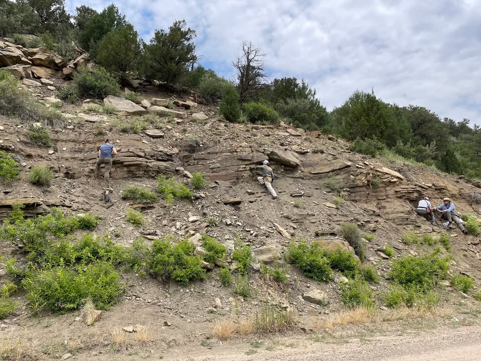
ALT A group of four people is seen prospecting for plant fossils in Berwind Canyon, CO on a rocky hillside with sparse green vegetation. They are scattered across the slope, wearing outdoor clothing and hats, and appear to be geologists or researchers. One individual is climbing the slope on the left, another is crouched in the center inspecting rocks, while two others on the right are working together, possibly collecting samples or analyzing the rock layers. The background shows a cloudy sky with some trees on top of the hill. The terrain consists of layered rock formations with loose stones and shrubs. Photo by Ellen Currano

ALT A fossil plant excavation in the Cretaceous rocks just below the K-Pg boundary at Old Raton Pass, NM. A rock hammer is embedded in the exposed rock layers, indicating geological study or sampling. The surrounding terrain is steep, with loose rock fragments scattered at the base. Sparse vegetation grows along the slope, including grasses and small shrubs. In the background, a dense forest covers rolling hills under a partly cloudy sky. The text "ORP-K" is visible in the upper left corner of the image. Photo by Ellen Currano
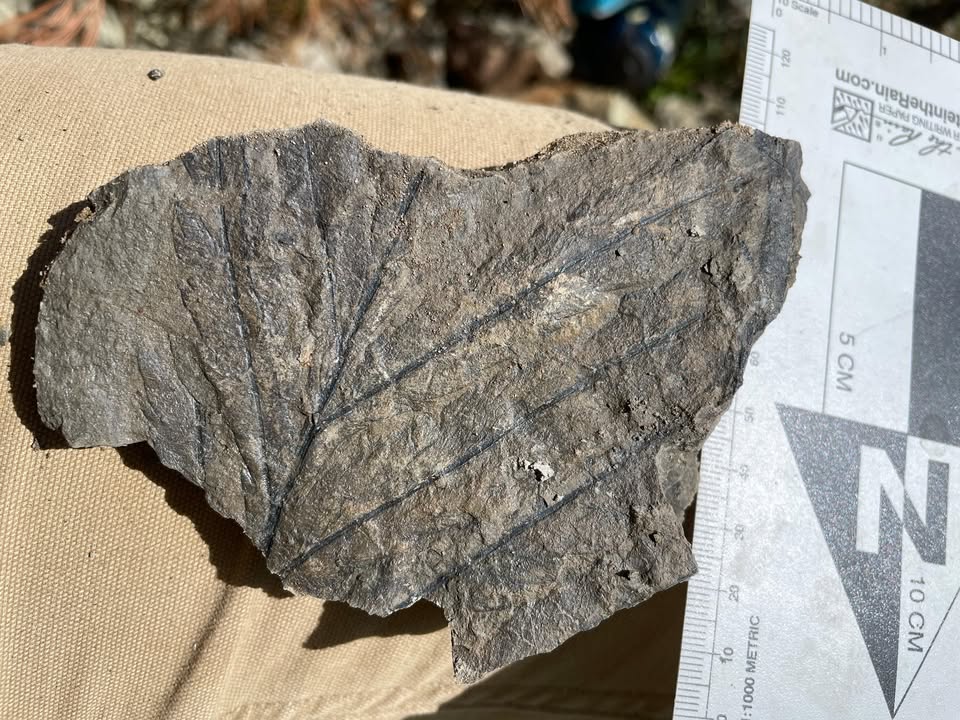
ALT Early Paleocene fern fossil discovered on the Vermejo Park Ranch, NM. The fossil clearly shows detailed leaf veins running from the center to the edges. The rock is irregularly shaped and rests on a beige surface, possibly a pant leg. A ruler with centimeter markings is placed alongside the fossil for scale, indicating the fossil is approximately 10 cm in width. Sunlight casts a shadow, highlighting the fossil's texture and details. Photo by Ellen Currano
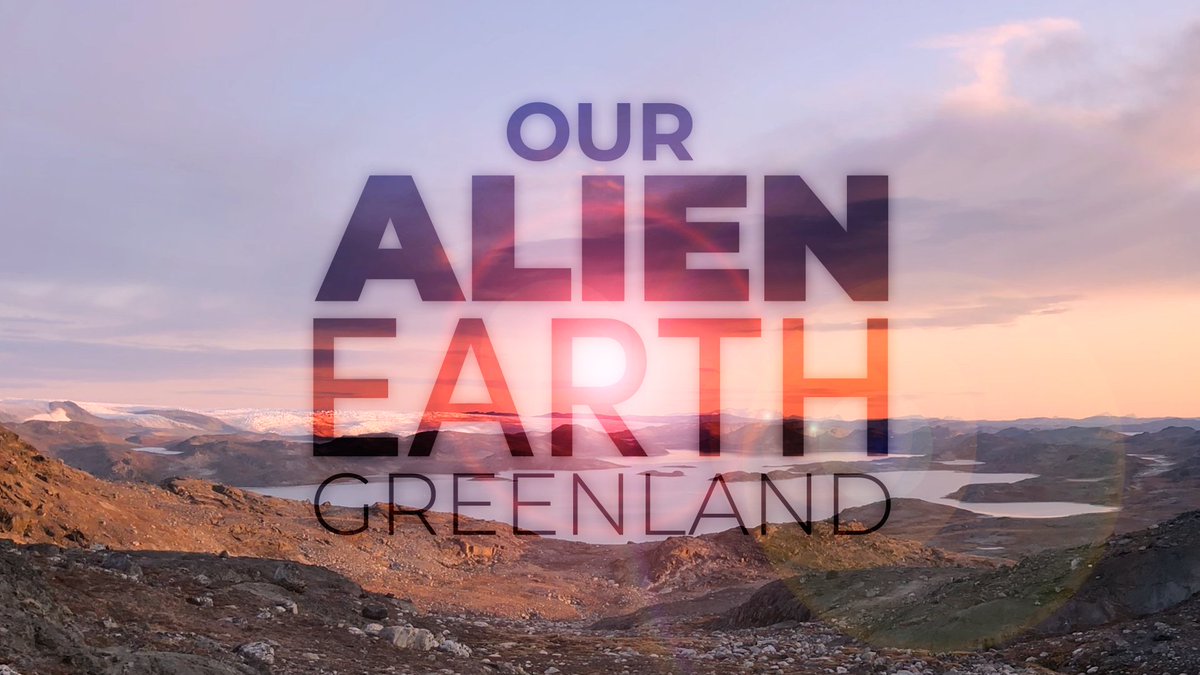
ALT A rugged, rocky landscape in Greenland under a colorful sunset sky, with distant hills and glaciers visible. Overlayed text reads 'OUR ALIEN EARTH' in large, bold letters, with 'GREENLAND' below in smaller text.
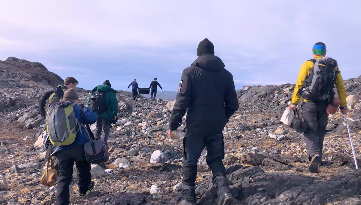
ALT A group of people dressed in outdoor gear and backpacks hike across a rocky, rugged landscape in Greenland under a clear sky. Two individuals in the distance are carrying a black container. The terrain consists of scattered rocks and patches of sparse vegetation.
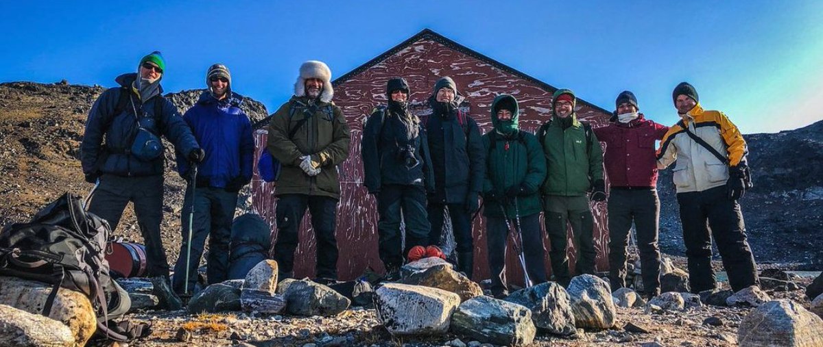
ALT A group of nine people in warm, layered clothing and outdoor gear pose in front of a red wooden building in a rocky, remote area of Greenland. The group is standing on uneven terrain with scattered boulders under a clear blue sky.
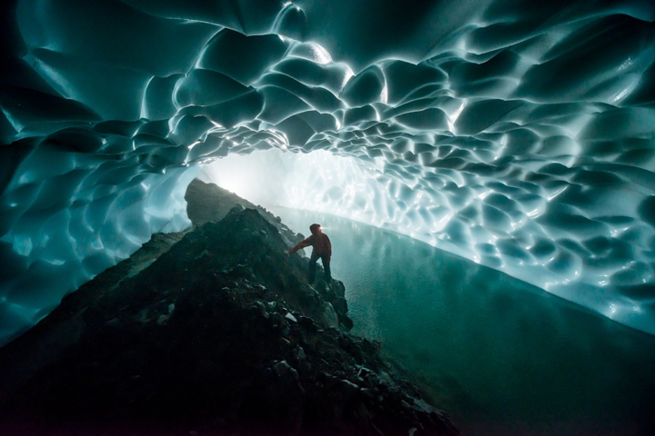
ALT Dr. Penny Boston standing on a rock formation inside inside a glacier cave that looks like a tube of frozen, rippled water tubing around her. Credit: NatGeo, Carsten Peters