
Soil Moisture Active and Passive (SMAP) mission launched on January 31, 2015. This account is no longer active.
Joined October 2010
- Tweets 517
- Following 24
- Followers 9,422
- Likes 121
143 Photos and videos


This account has moved! Information and science results from SMAP can now be found on @NASAEarth.
2
9
17
NASA SMAP retweeted

18 Jun 2018
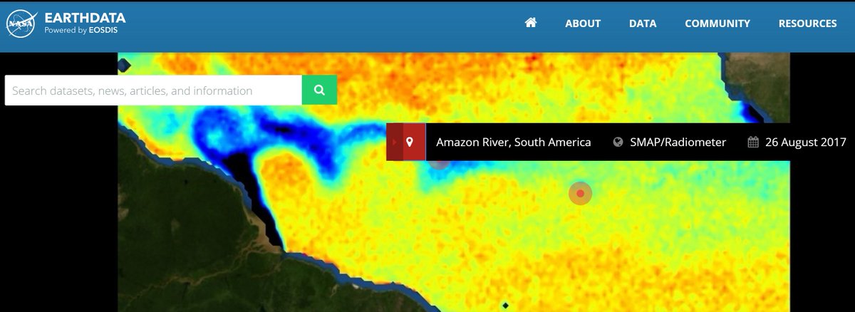
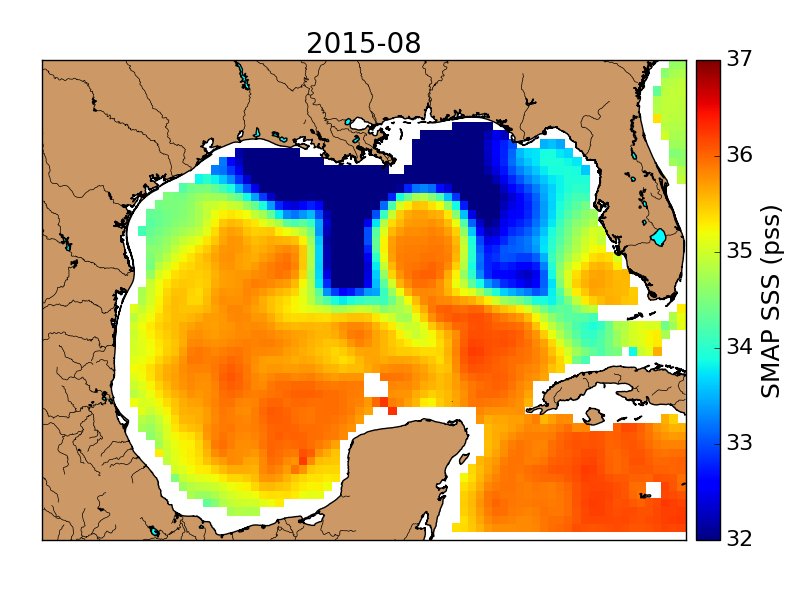
PO.DAAC featured this week on the NASA Earthdata website! This image shows derived sea surface salinity created from Soil Moisture Active Passive (SMAP) data. Please visit the Earthdata website for more information: earthdata.nasa.gov
3
4
16
Data from SMAP are now being used operationally by the U.S. Department of Agriculture to monitor global croplands and make commodity forecasts. go.nasa.gov/2J8mTke
1
33
55
SMAP Sees Sea Surface Salinity
@PODAAC announced the availability of updated version 2.0 SMAP Sea Surface Salinity data from Remote Sensing Systems at a spatial resolution of 70km.
smap.jpl.nasa.gov/news/1265/…
1
13
12
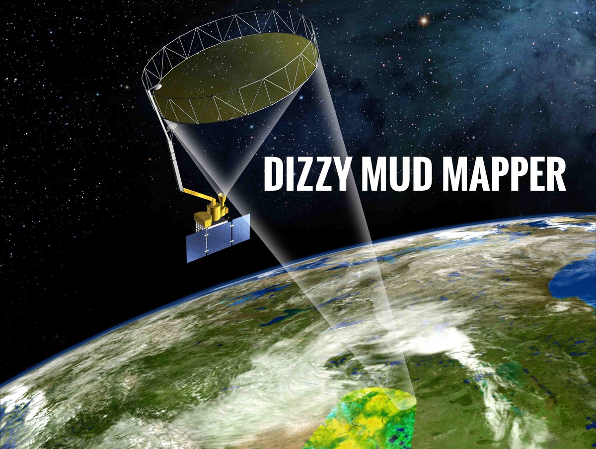
Ok, I'll play #RebrandASatellite @NOAASatellites! Since I spin 'round 'round like a record studying soil moisture, I suggest my new brand is...
3
23
56

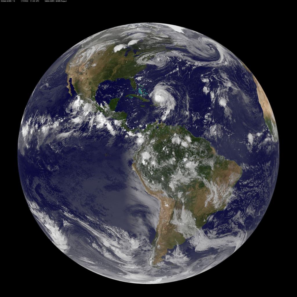
It's the #FirstDayofFall! Here's Earth today. From our vantage point in space, we work to better understand our home planet & improve lives
213
2,983
8,014
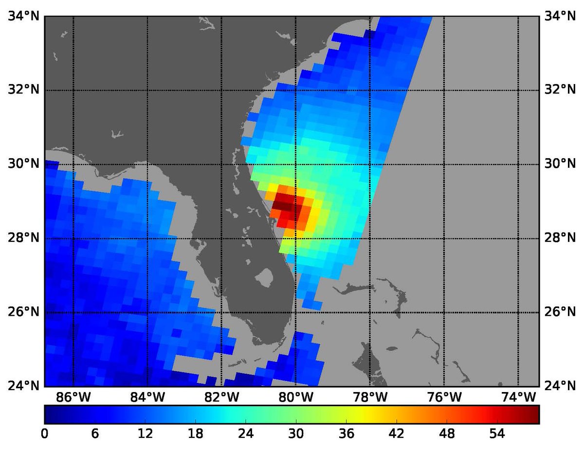
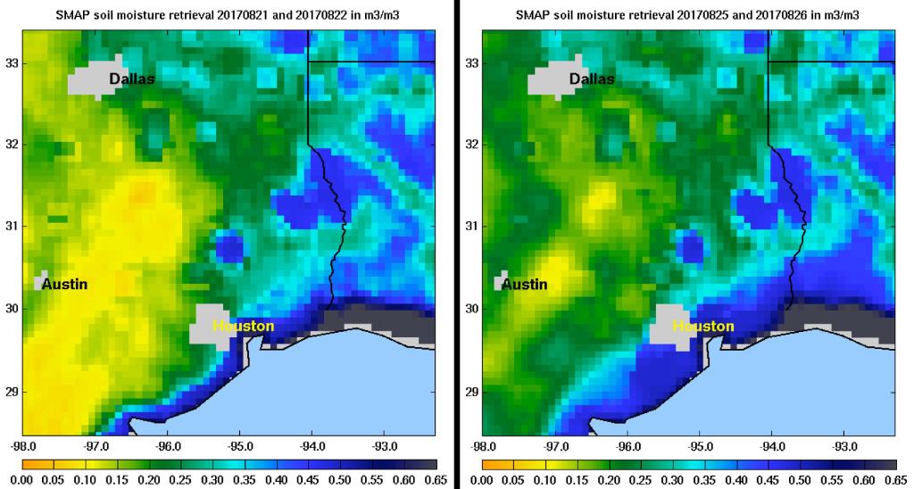
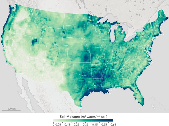
Our @NASAEarth satellites continue to track #Harvey as new soil moisture data shows how it saturated areas in Texas: go.nasa.gov/2iKpO66
12
266
764
NASA SMAP retweeted

29 Aug 2017
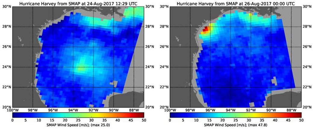
Special Feature: Hurricane Harvey's Rapid Wind Intensification seen by NASA's SMAP facebook.com/NASAHurricane/p… #Harvey
10
10
NASA SMAP retweeted

18 Apr 2017
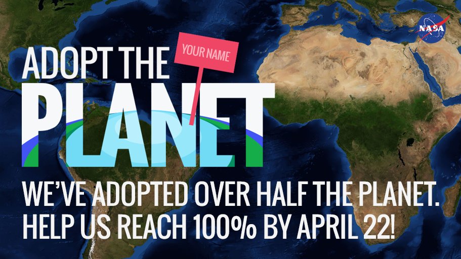
Help us reach our goal of adopting the entire planet by #EarthDay April 22. go.nasa.gov/adopt #AdoptThePlanet #NASA
2
84
95
NASA SMAP retweeted

14 Apr 2017
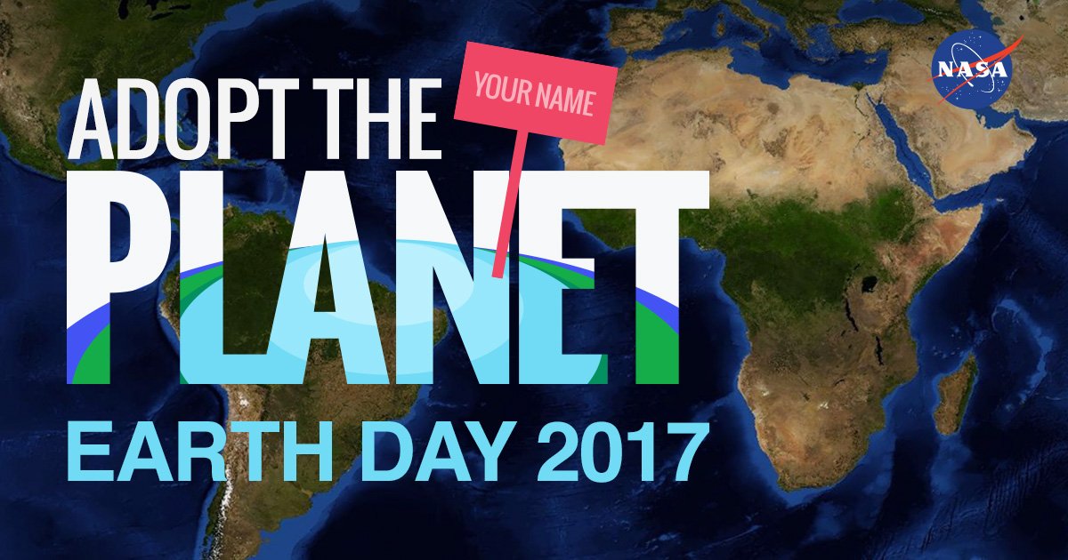
Have you adopted your piece of Earth yet? NASA celebrates #EarthDay with #AdoptThePlanet activity! go.nasa.gov/2nI5eQH
6
13
NASA SMAP retweeted
10 Apr 2017
SMAP! Goes The Memory earthobservatory.nasa.gov/bl… jpl.nasa.gov/news/news.php?f… Data via @NASASMAP #NASA #soil #moisture
2
28
64
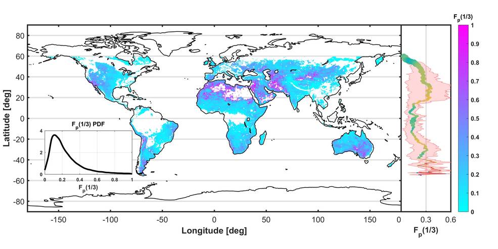
New findings help track soil moisture "memory" in the top 2" of soil. On average ~1/7 rain 🌧️ remains 3 days later. nasa.gov/feature/jpl/study-t…
2
43
69
NASA SMAP retweeted
24 Jan 2017
#EarthdataEnablesScience In 2016, #NASA EOSDIS delivered over 1.5 billion data products to more than 3 million users worldwide! x.com/ATredennick/status/823…
23 Jan 2017

We use long term @NASAEarthData (@NASA_Landsat) to develop forecasting models to predict how vital ecosystems will change in the future.
18
14
NASA SMAP retweeted
19 Jan 2017
Who uses @NASAEarth science data? She does-to study dryland ecosystems. go.nasa.gov/2iNS9D3, #EarthdataEnablesScience

1
27
48

NASA SMAP retweeted
20 Oct 2016
.@NASASMAP reveals the life cycle of a 2015 Texas flood & its impact on marine life: jpl.nasa.gov/news/news.php?f…
3
29
34
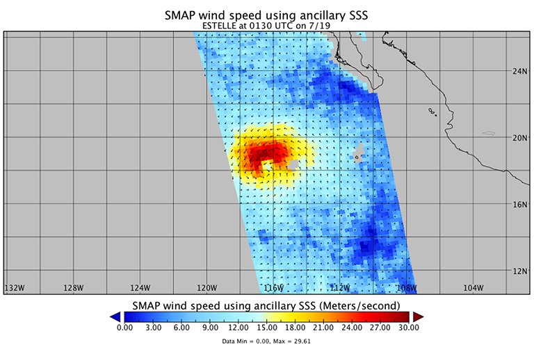
My radiometer measured #HurricaneMatthew’s wind speeds at 4:52am PDT at up to 132 mph. SMAP has excellent sensitivity to extreme winds.
19
19
NASA SMAP retweeted

22 Sep 2016
#NASAProud of our #WomenInSTEM! Meet #cloud scientist Dr. Yolanda Shea @WomenNASA: go.nasa.gov/2dkbIlk @NASAEarth You can be one too!
2
4
Hear firsthand how science inspires students in the @GLOBEProgram. Shot in beautiful @RockyNPS. youtu.be/3aTQtoPD7dE #FindYourPark
4
4
I may ❤️ soil moisture, but I can also estimate ocean winds! 📡💨🌊 go.nasa.gov/2aeK6vM #EarthRightNow
1
18
19