
Geographer at @geogsouthampton. Into #AutomatedZoneDesign, #spatiotemporal #population modelling, #GIS, #health. Sports, animals, outdoors. Views own, RT=FYI.
- Tweets 408
- Following 194
- Followers 236
- Likes 1,001


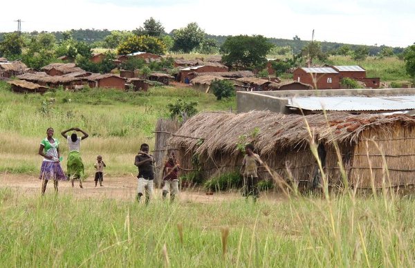
ALT Photo of a Malawi village by leliebloem, 2018 CC BY-NC-SA 2.0 https://flic.kr/p/29rg4KQ

ALT Screen capture from Google Open Buildings
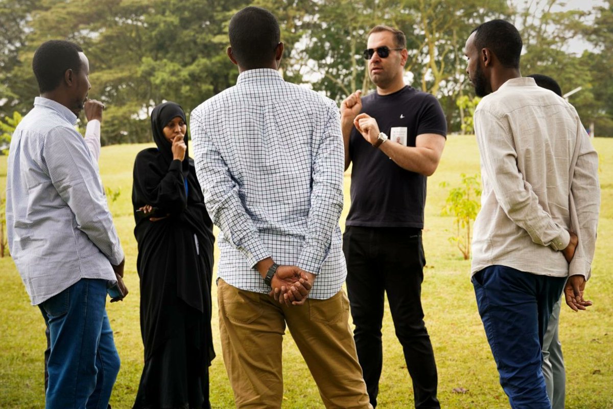
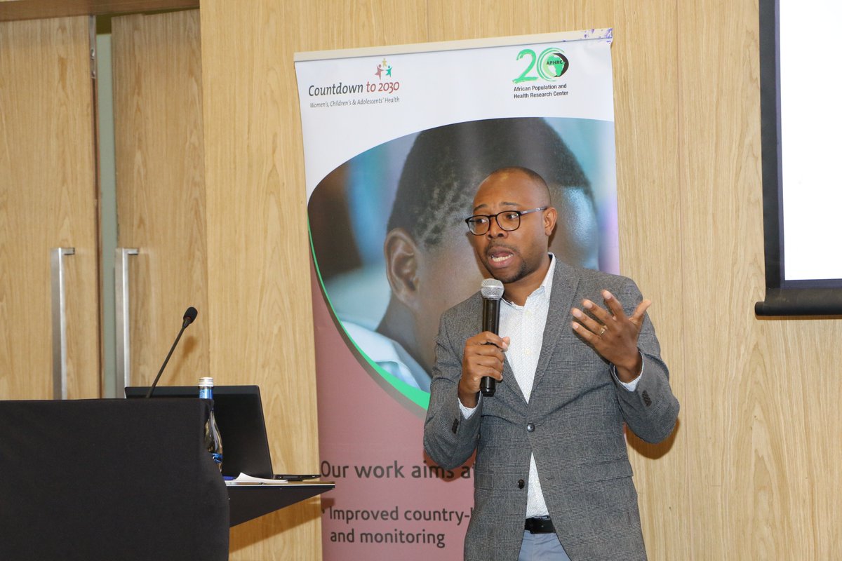
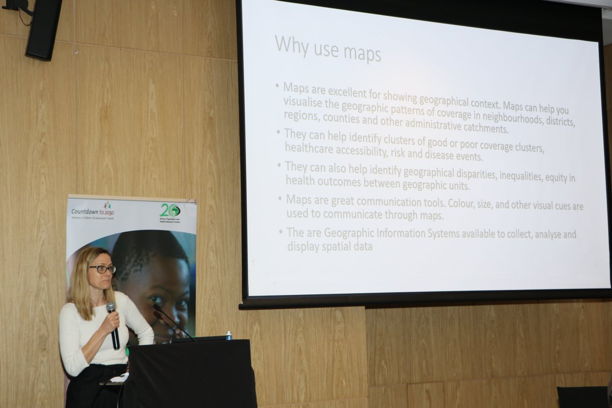
ALT Dr Sarchil Qader leading a training the trainers workshop for Somali statisticians in Nairobi, Kenya


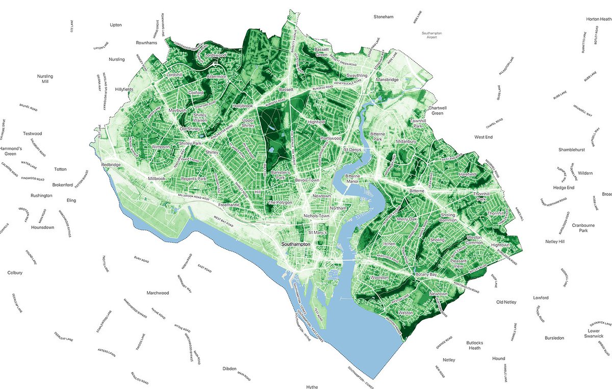
ALT Map of Southampton’s Tranquil City Index, colour-coded from light to dark green to indicate tranquillity levels. Darker green areas score the highest. Major roads, natural features, and the city boundary are outlined.


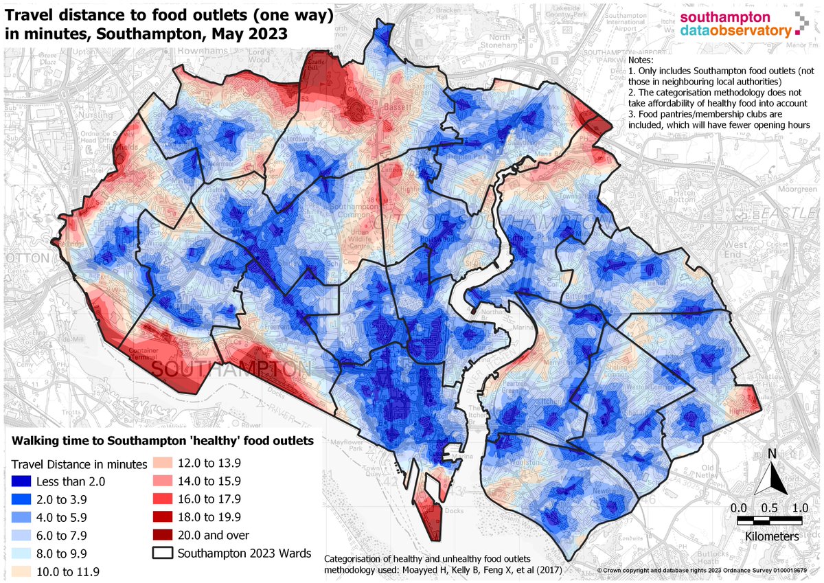
ALT A map of Southampton from May 2023, showing the travel distance in minutes to "healthy" food outlets. Areas are colour-coded, with blue indicating shorter walking times and red indicating longer walking times. Ward boundaries are outlined in black. The map notes that the data only includes food outlets within Southampton and that food pantries/membership clubs are included, which may have limited hours.


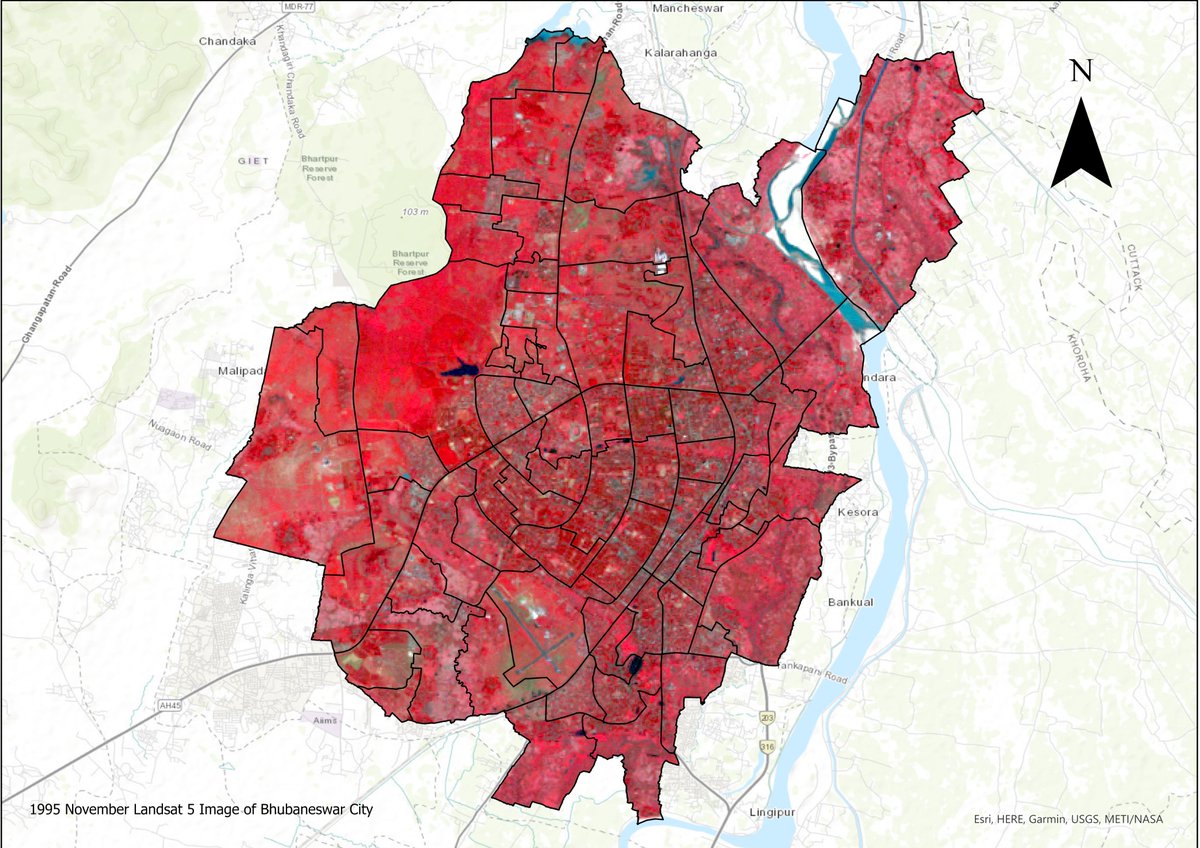
ALT Satellite image (1995) of Bhubaneswar: Red depicts vegetation, grey indicates urban areas.
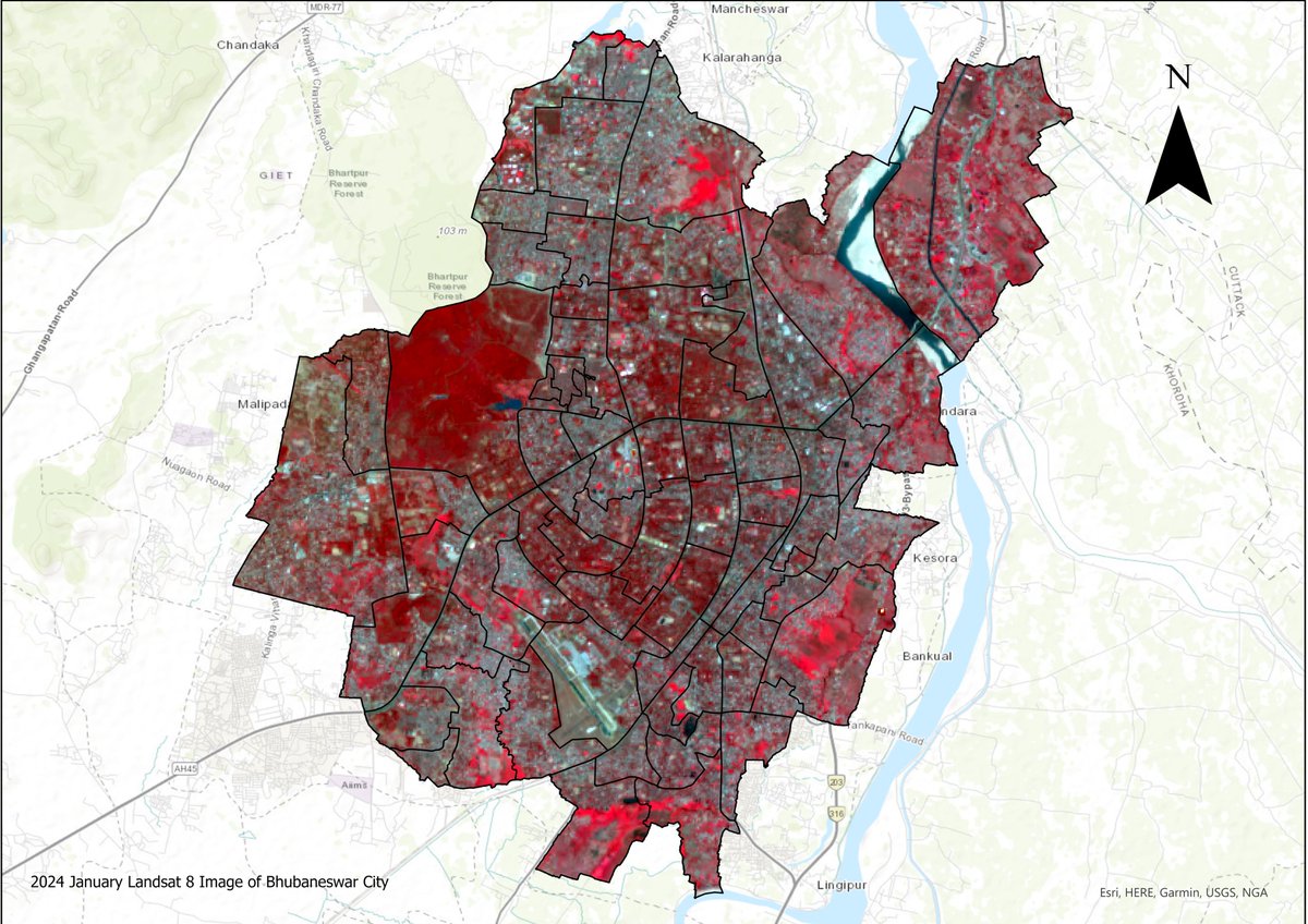
ALT Satellite image of Bhubaneswar in 2024. Red depicts vegetation, grey indicates urban areas.

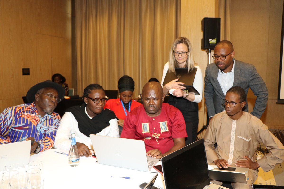


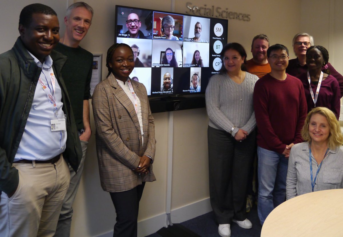
ALT The Dev-Afrique team (Ridwan Sorunke, Barakat Tiamiyu and Christine Puri) with WorldPop members (https://devafrique.com/)
