
Joined March 2020
- Tweets 1,072
- Following 237
- Followers 88
- Likes 483
226 Photos and videos


Pinned Tweet

22 Feb 2023
Introducing - TreeBot (iSeaTree v. 4 - now with AI) !
treemama.org/the-tech-treeho…
Download - and start saving urban trees!
#EnvironmentalEducation #ClimateActionNow #trees #ClimateCrisis #CO2 #AI #Forestry #urbanforestry #WIP #reactnative #opensource #ClimateJustice #naturalist
1
4
2,395

TreeMamaSEA retweeted

13 Nov 2025
Trees shape our neighborhoods, our climate, and our daily lives — and there are so many ways to study and support them through citizen science. Our latest newsletter rounds up projects you can try, from measuring tree height for NASA to mapping urban forests and tagging resilient species.
Read the newsletter to explore:
🌲 NASA @GLOBEProgram
🌳 iSeaTree (@TreeMamaSEA)
🌱 @Treesnapapp
🌿 @Treezilla_org
🌲 @girlscouts Tree Promise
Take a look: conta.cc/43egSts
3
1
211
TreeMamaSEA retweeted

15 Aug 2025
Meta just released DINOv3, a generalist, state-of-the-art computer vision model trained with SSL that produces superior high-resolution visual features.
Blog post: ai.meta.com/blog/dinov3-self…
GitHub: github.com/facebookresearch/…
2
21
103
6,241
TreeMamaSEA retweeted

15 Aug 2025
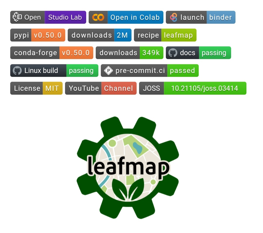
Leafmap: Interactive Mapping & Geospatial Analysis in Python
Leafmap is an open-source Python package for interactive mapping and geospatial analysis — no heavy coding required. Built for Jupyter environments, it lets you explore, visualize, and analyze spatial data with just a few lines of code, or even no code at all.
Core capabilities include:
🗺 Interactive maps in one line — quickly load vector & raster data into a map
🗃 Multi-backend support — ipyleaflet, folium, kepler.gl, pydeck, bokeh
🌐 Basemap & tile services — OpenStreetMap, XYZ, WMS, vector tiles, and more
📊 Advanced visualization — split maps, linked maps, heatmaps, choropleths
🛰 Raster & vector analysis — powered by WhiteboxTools (500 geospatial tools)
📍 Geodata editing & creation — draw, modify, and save features interactively
🔍 Data access & search — STAC, Planetary Computer, AWS Open Data, OpenStreetMap
📈 Time series & animations — visualize spatial change over time
🧠 AI integration — segment and classify imagery with deep learning tools
💻 Web app ready — deploy analyses with Voila, Streamlit, or Solara
Applications:
🔹 Remote sensing & environmental monitoring
🔹 Urban planning & infrastructure mapping
🔹 Disaster response & risk assessment
🔹 Education & citizen science projects
📖 Documentation: leafmap.org
💬 GitHub: github.com/opengeos/leafmap
🧠 Credit: opengeos, @giswqs
#Leafmap #Geospatial #GIS #RemoteSensing #OpenSource
33
204
8,492
TreeMamaSEA retweeted

3 Aug 2025
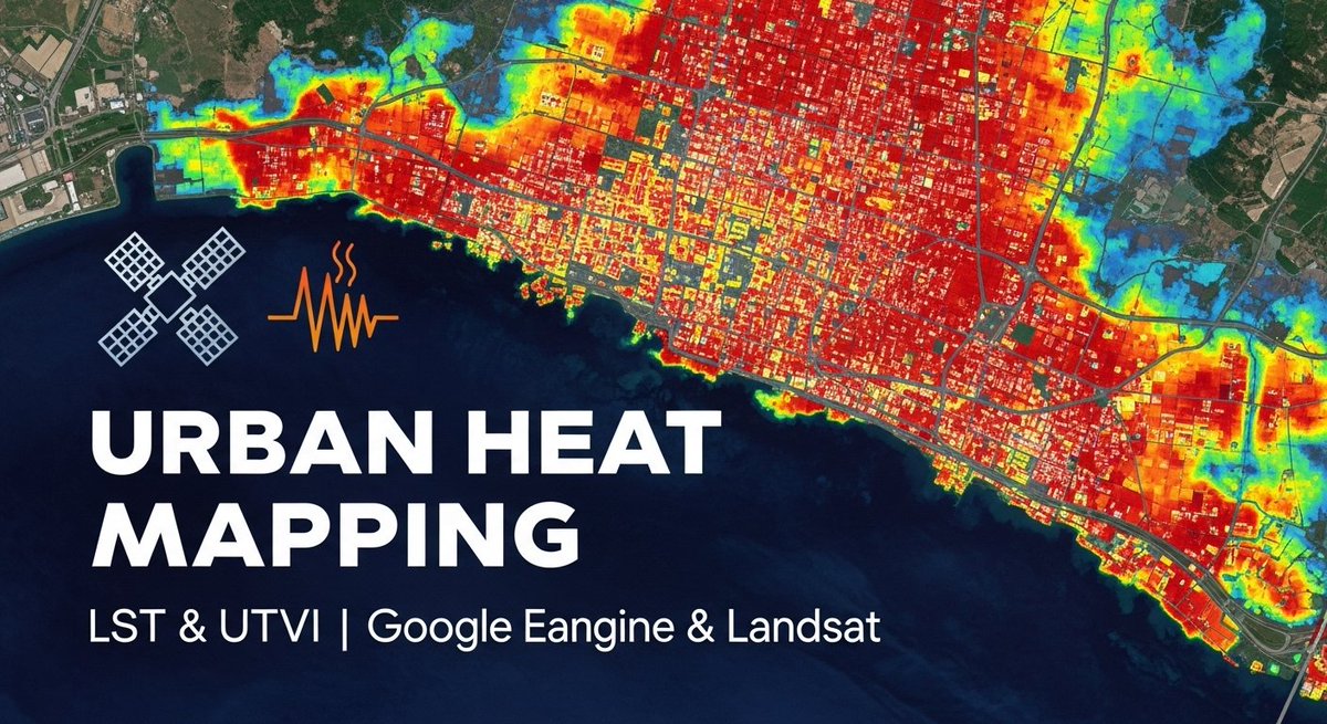
Mapping Urban Heat Islands with LST & UTFVI | Google Earth Engine & Landsat
Tutorial link: youtube.com/live/p9HIfKJ4Nws…
For more information about registration, visit our website: studyhacksgeospatial.com/goo…
#UrbanHeatIsland #LST #UTFVI #GoogleEarthEngine #Landsat #RemoteSensing
1
38
200
8,280
8 Jun 2025
I’m the daughter of an immigrant, born and raised in SoCal, educated at #CalBerkeley — and in 2025, I’ve never felt more proud to say those words out loud.
If 2025 has proven anything - it takes a little more than some fire to take down the #LosAngeles spirit.
#Resilience
105
TreeMamaSEA retweeted

7 Apr 2025
How far off are we from Autonomous GIS?
A new paper provides the roadmap.
Here's the key info you should know about:

1
17
88
9,093
TreeMamaSEA retweeted

20 Feb 2025
Think Detroit is already a rough place to live?
A water main broke there on Monday and flooded the streets during freezing temperatures.
8
101
301
89,572
TreeMamaSEA retweeted

15 Feb 2025
My new favorite website: ✨gulfof.mapquest.com✨ "Show off your custom Gulf map with friends and family. Create unique variations and spread some geographic joy!" Go forth and share geographic joy fam!
5
9
67
3,728
4 Feb 2025
FTP download for a *very* common USA #GIS resource (TIGER/Line Shapefiles) has been down since last night (API is OK tho!). Will add some details in the comments below for some backup download options! #EnvironmentalScience #Census #OpenStreetMap
tinyurl.com/47wma7mk
1
132
4 Feb 2025
1 option: nhgis.org/
another option (depending on your use case) is OSM, they have been uploading and refining TIGER data for ages.
74
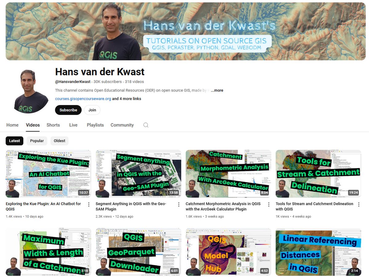
TreeMamaSEA retweeted

🎉 I've reached a milestone! My YouTube channel hit 30,000 subscribers! Thanks to all for your support! Can't wait to bring you more great content on #OpenSource #GIS. Stay tuned! #QGIS #Python #PCRaster
youtube.com/c/hansvanderkwas…
2
7
78
3,609
TreeMamaSEA retweeted

28 Jan 2025
Just wrote overview of the QGIS plug-in I started a couple months ago to make it easier to download data from Overture, Source Coop and anywhere with GeoParquet data. Read it at: cholmes.medium.com/a-deep-di…
3
43
205
7,996
14 Jan 2025
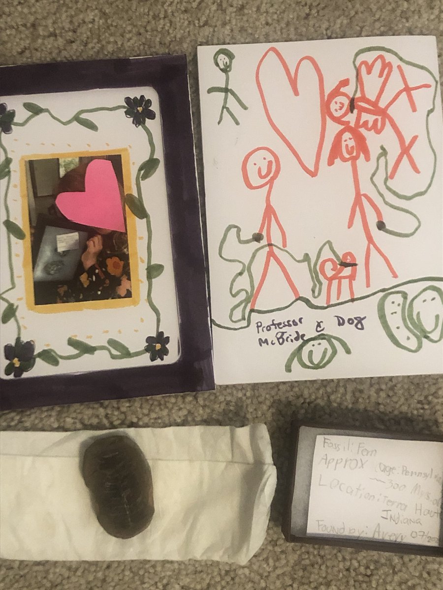
I don’t share my kids’ faces, but my Girl Scout wanted to plant trees this year (& support #iSeaTree) and wore her mask so I could share this! Support her cookie fundraiser & order shipped! Link below. Thank you 💚! #trees
#environment
#kidsactivities
tinyurl.com/3jjapaau
115

30 Dec 2024
"Soul of an activist, mind of a pragmatist" is what his mentee Karin Ryan called him.
He was a remarkable man (and the only President we've had so far that had a degree in - not law, politics, or business - but 👏Nuclear 👏 Physics 👏!). #PresidentCarter
29 Dec 2024

RIP President Carter
Your empathy, compassion, and kindness is something we all can learn from ❤️
90