
May 9
Mapbox's Global Scale Factor is a game-changer for responsive design. One style. Multiple devices. Seamless scaling via runtime API or Mapbox Studio. This is what modern web mapping needs! mapbox.com/blog/new-scaling-… #maps #mapbox #geocaddermaps #geocadder #webmaps #mapbox
6

🌍 GeoJSON is an open standard for encoding geographic data in JSON, used to represent things like points, lines, polygons, and feature collections. geojson.org/ #GeoJSON #GIS #Mapping #OpenData #GeoSpatial #WebMaps
1
25

Apr 27
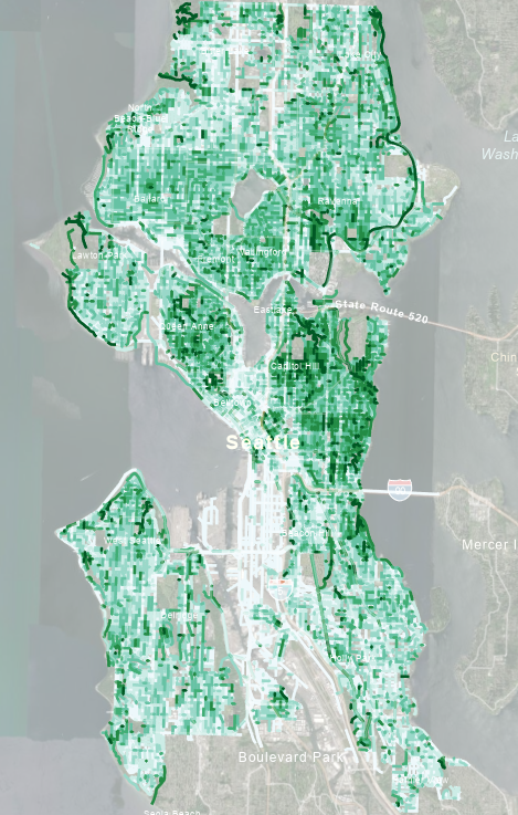
Caveat: I have never been to Seattle so have zero idea if there's anything weird going on here
I'll probably get around to publishing these as interactive webmaps soon
1
1
158

Want that atlas look and feel for your #webmaps? Need to show time zones on your location map? Check out our latest updates to find out more about our grid lines dataset and the latest updates to our satellite maps: maptiler.link/4e5af2y
2
19
961

Apr 15
Delivery Vehicle Tracking with GIS & Web Maps
Monitor fleets in real time, improve route efficiency, enhance security, and gain actionable insights — all powered by advanced GIS technology and interactive web maps.
#GIS #VehicleTracking #WebMaps #FleetManagement #GeoApps #JapakGIS #SmartMobility
1
50
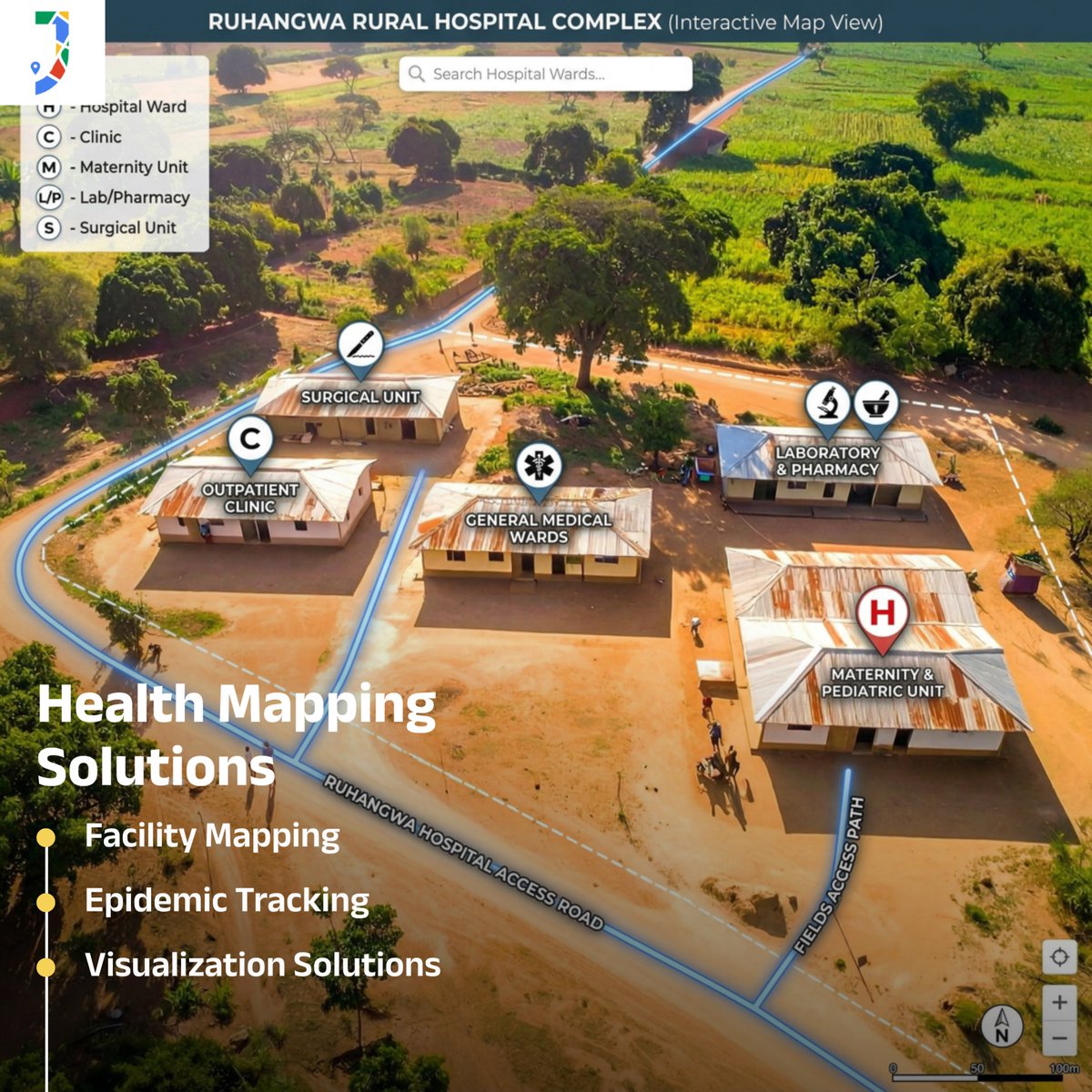
Mapping healthcare access just got smarter 🏥🌍
With Web Maps and GIS, health facilities can now be visualized, analyzed, and optimized in real time — improving accessibility, planning, and response where it matters most.
From urban centers to remote communities, data-driven mapping is transforming how healthcare reaches people.
📍 Better insights
📊 Smarter decisions
🚑 Stronger healthcare systems
#JapakGIS #GIS #WebMaps #HealthcareMapping #DigitalHealth #SmartPlanning #LocationIntelligence #Kenya #Africa
1
4
107
Geo data is everywhere.
Actionable insight is rare.
We turn location data into real decisions that matter.
Powered by JapakGIS 🌍
#GIS #DataDriven #WebMaps #LocationIntelligence #SmartDecisions #JapakGIS
12

Mar 25
Mapping health facilities with GIS 🏥📍
Visualize access, identify gaps, and improve healthcare delivery using real-time web maps.
Data-driven decisions = better outcomes.
#JapakGIS #GIS #WebMaps #DigitalHealth #LocationIntelligence
10

FUCK ME SIDEWAYS IM GONNA KMS THIS SHIT IS TOO HARD I JUST WANT TO WRITE ILLUHEN SUCKING FACE WHY AM I RESEARCHING WEBMAPS
1
94
Mar 12
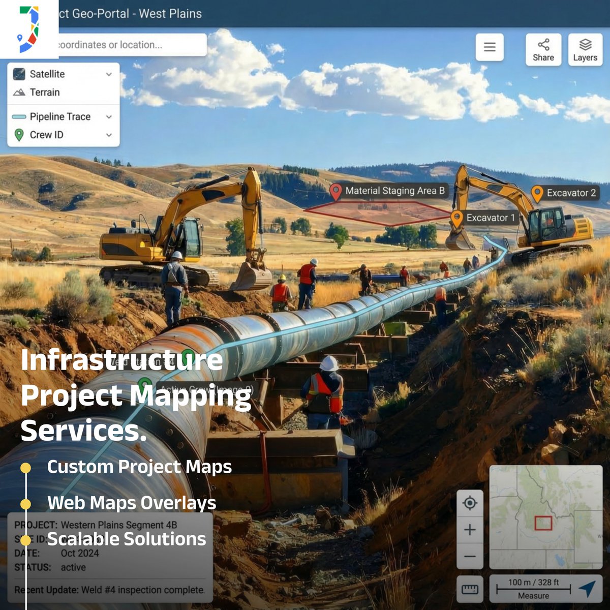
Mapping infrastructure projects using Web Maps & GIS 🗺️
Track development, monitor project progress, and support smarter planning with location intelligence.
🔗 Explore the demo: japakgis.com/maps/national-e…
#GIS #Infrastructure #WebMaps #SmartCities
5
7
368
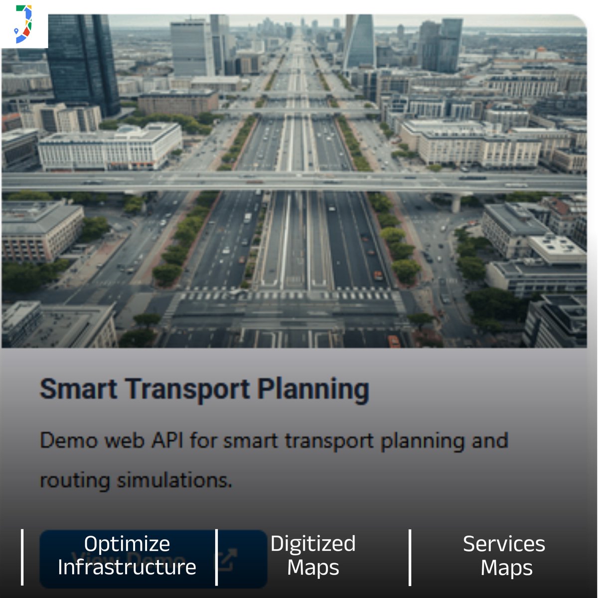
Smarter cities start with smarter mobility. 🚦
Using Web Maps and GIS, planners can analyze traffic patterns, optimize transport routes, and design efficient urban mobility systems.
🔗 Demo: japakgis.com/maps/smart-tran…
#GIS #WebMaps #UrbanPlanning
1
1
114
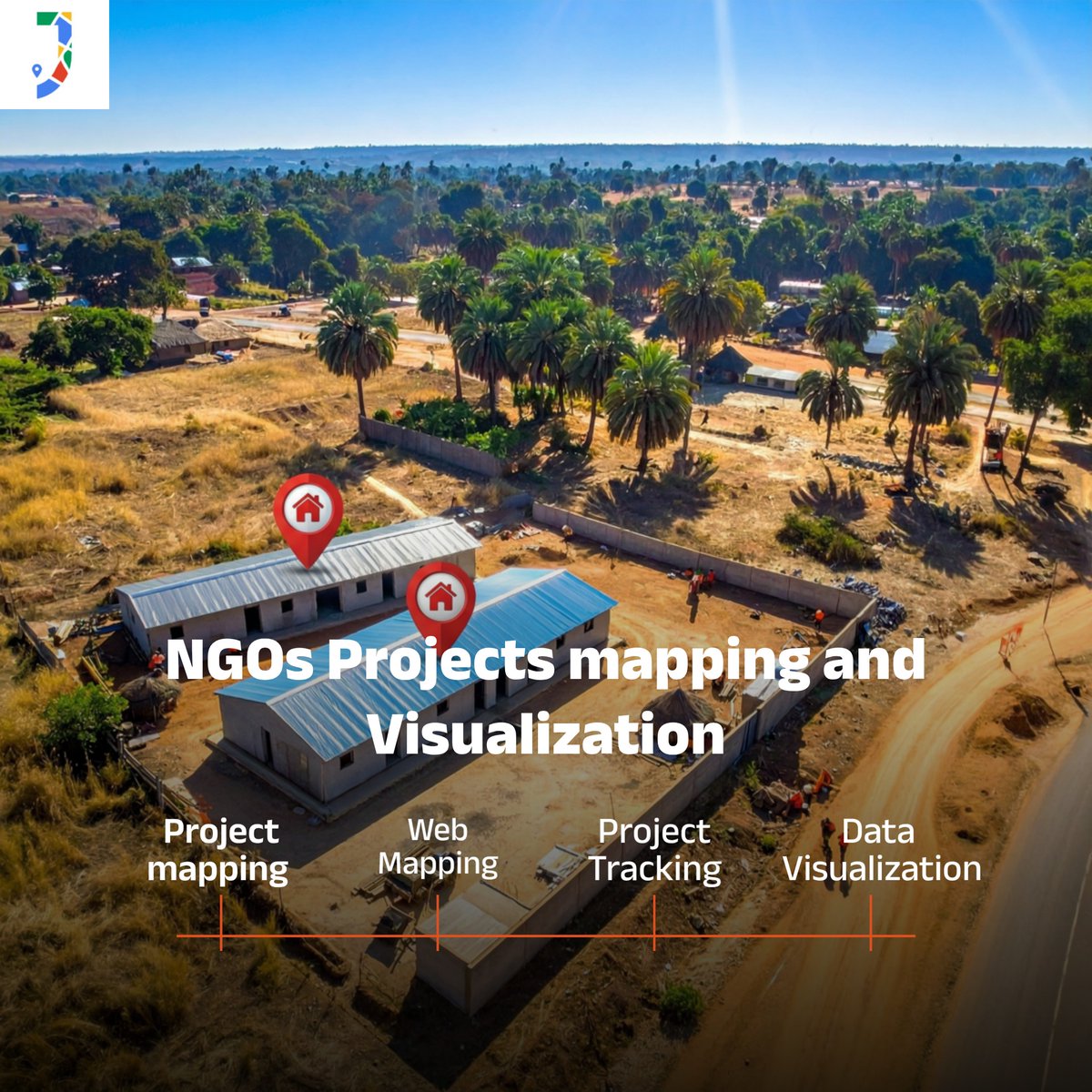
Every development project has a location—and every location tells a story. With GIS and webmaps, NGOs can map schools, water projects, healthcare programs, and community initiatives in one powerful dashboard.
#GISMapping #NGOTech #SmartDevelopment #SpatialData #WebMapping
1
11
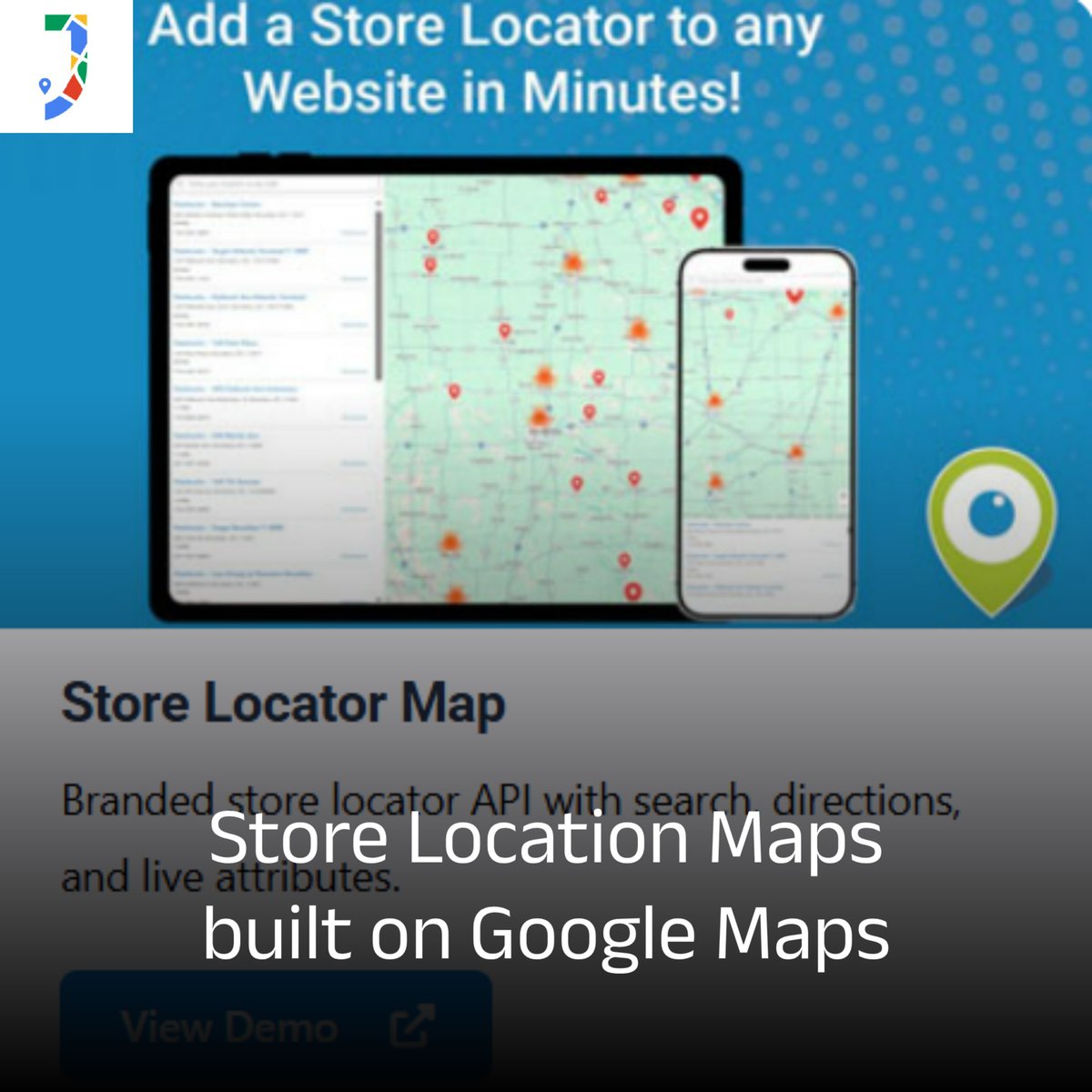
Customers are searching for you right now. Are you easy to find? 👀📍
Add a powerful Store Locator powered by Google Maps and drive real foot traffic to your outlets.
🚀 Get started: japakgis.com/maps/store-loca…
#RetailTech #GeoSolutions #WebMaps
1
10
Feb 26
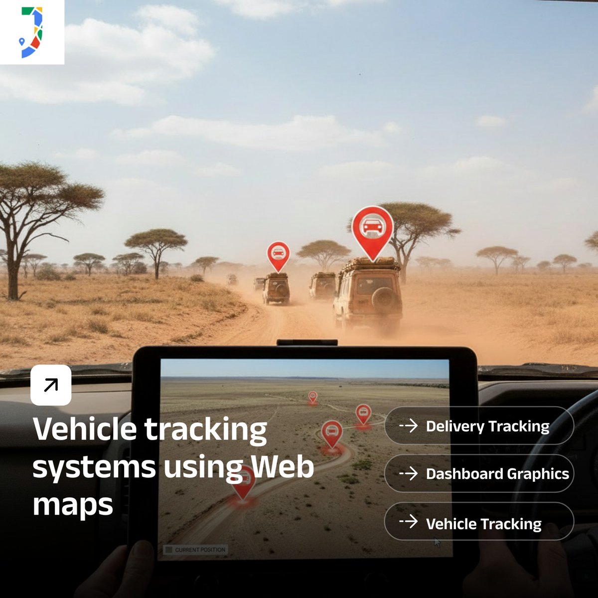
🚗 Smart Vehicle Tracking with GIS & Web Maps
Monitor fleets in real time, improve route efficiency, enhance security, and gain actionable insights..
👉 Explore the live demo: japakgis.com/tracking/vehicl…
#VehicleTracking #WebMaps #FleetManagement
1
10
Feb 24
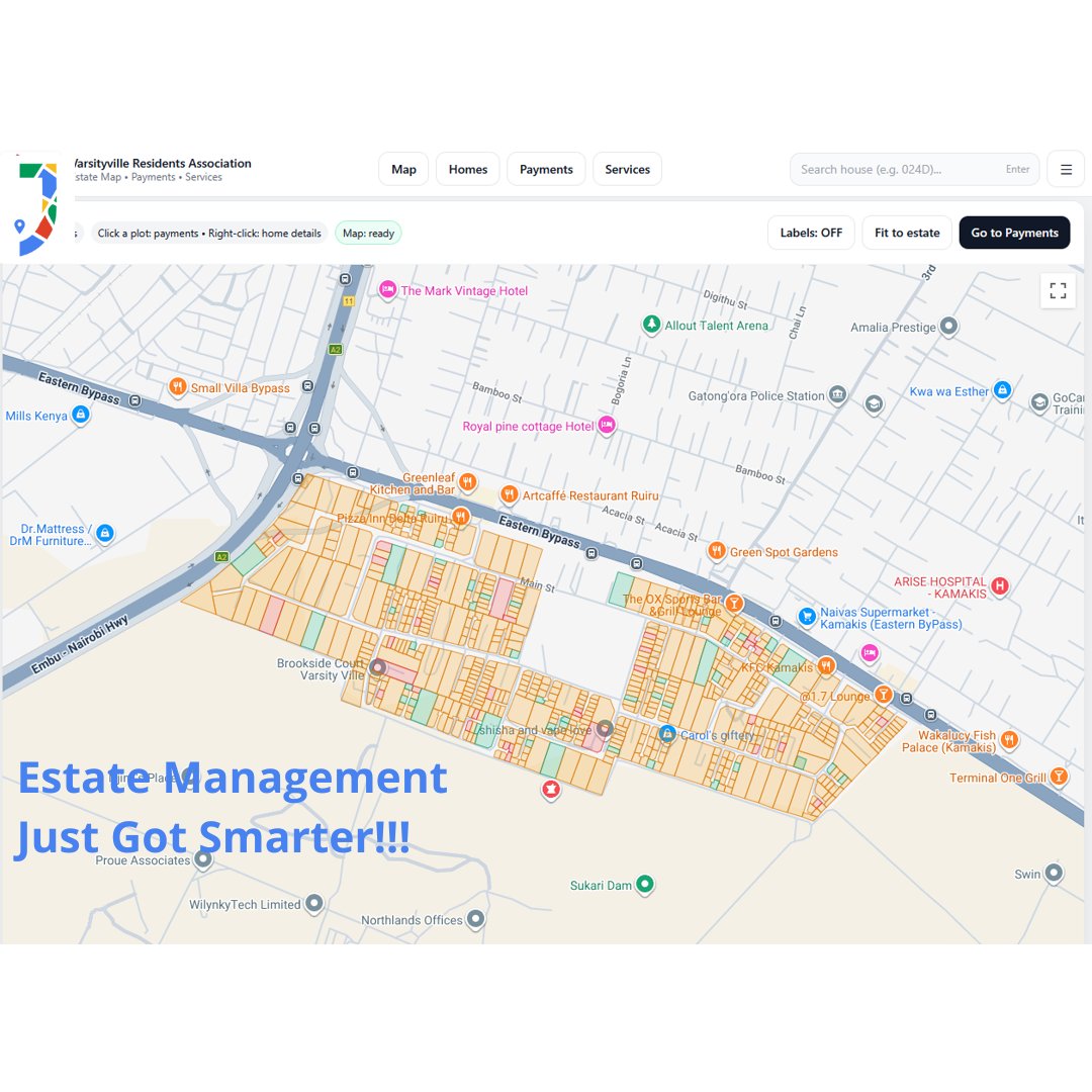
🏡 Estate Management Just Got Smarter!
Our GIS-powered Estate Management Platform helps resident associations visualize homes, track payments, manage services, and improve community operations — all from one interactive map.
Explore the live application here:
japakgis.com/estate/index.ht…
#GIS #EstateManagement #PropTech #WebMaps #JapakGIS #SmartCommunities
1
7
Feb 20
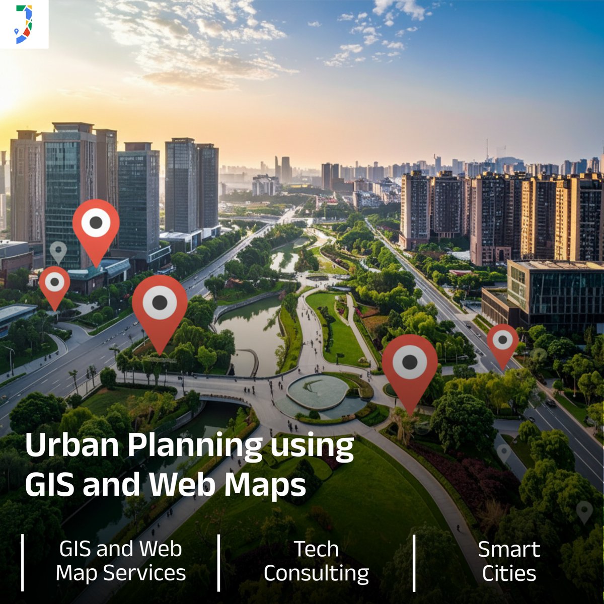
🌍 Smart cities start with smart maps.
Using GIS & interactive web maps, urban planners can visualize growth and drive sustainable development with data-driven decisions.
Explore more: japakgis.com/maps/urban-plan…
#UrbanPlanning #SmartCities #WebMaps
1
7
Feb 18
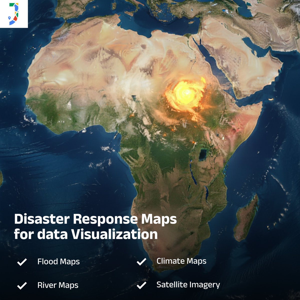
🌍 Disaster Response Analysis using GIS & Web Maps
Real-time mapping helps teams track disasters, assess impacts, and plan faster responses.
👉 japakgis.com/maps/disasters
#GIS #DisasterResponse #WebMaps #SpatialData #JapakGIS
1
6
Feb 17
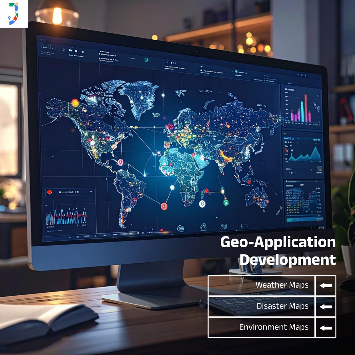
🌍 Transform Ideas into Smart Geo-Applications!
Unlock the power of web maps with custom geo-apps designed for real-world impact.
👉 Learn more: japakgis.com/services/geo-ap…
#WebMaps #GeoApps #DigitalTransformation #MappingInnovation
1
9
Jan 21
Urban planning gets smarter with GIS & Web Maps — from zoning and transit routes to infrastructure & service delivery.
Good data means better cities. 🏙️📊
#GIS #UrbanPlanning #WebMaps #SmartCities #LocationIntelligence #GeoTech #JapakGIS
1
4