
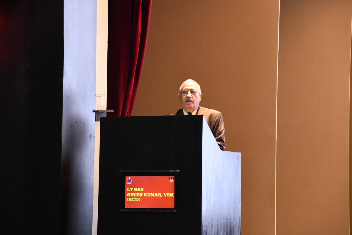
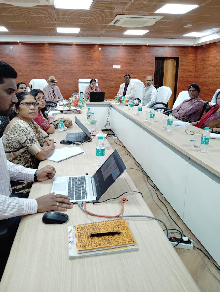
📍 College of Military Engineering, Pune
Gen Girish (Retd) delivered an insightful talk on the National Geospatial Policy, highlighting its strategic implications for Military Survey and future-ready mapping. Building Sappers for the Future War.
#CME #MilitarySurvey #GeospatialPolicy #IndianArmy

2
98

24 Nov 2025
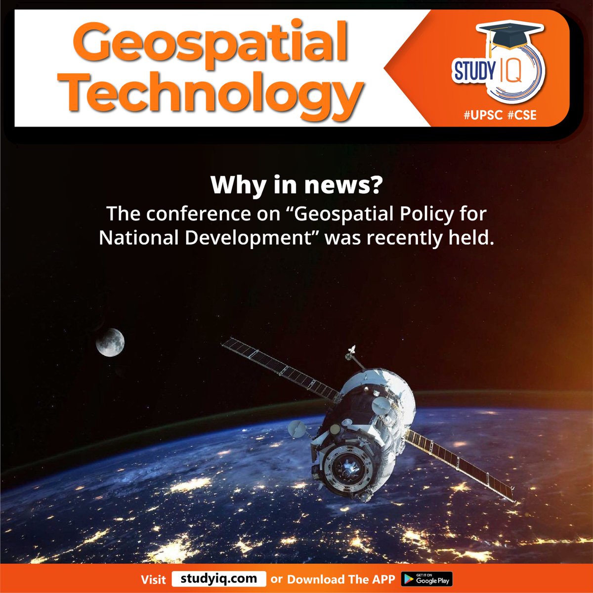
The Survey of India and CEPT Research and Development Foundation invite you to the International Webinar: “Accelerating India’s Geospatial Standards Implementation: International Perspectives & Partnerships”!
Join a diverse session of global leaders, experts, and policy-makers to discuss how world-class standards are transforming geospatial data ecosystems for decision-making, innovation, and sustainable development in India and beyond.
This event is designed for GIS professionals, planners, administrators, technologists, and anyone passionate about advancing geospatial systems and policy frameworks.
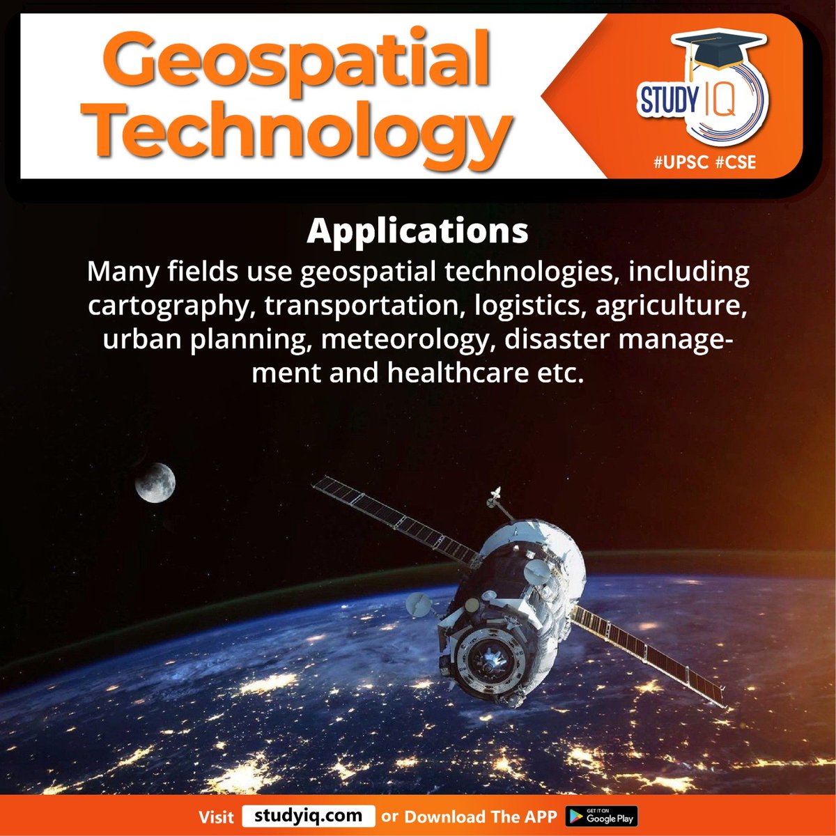
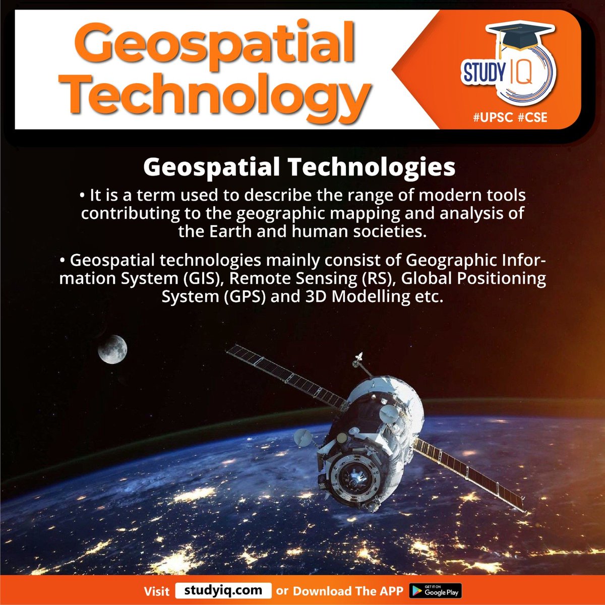
Why Attend?
• Explore international best practices and roadmap for geospatial standards from Australia, Netherlands, UK, Japan, Germany, Spain, Canada and USA.
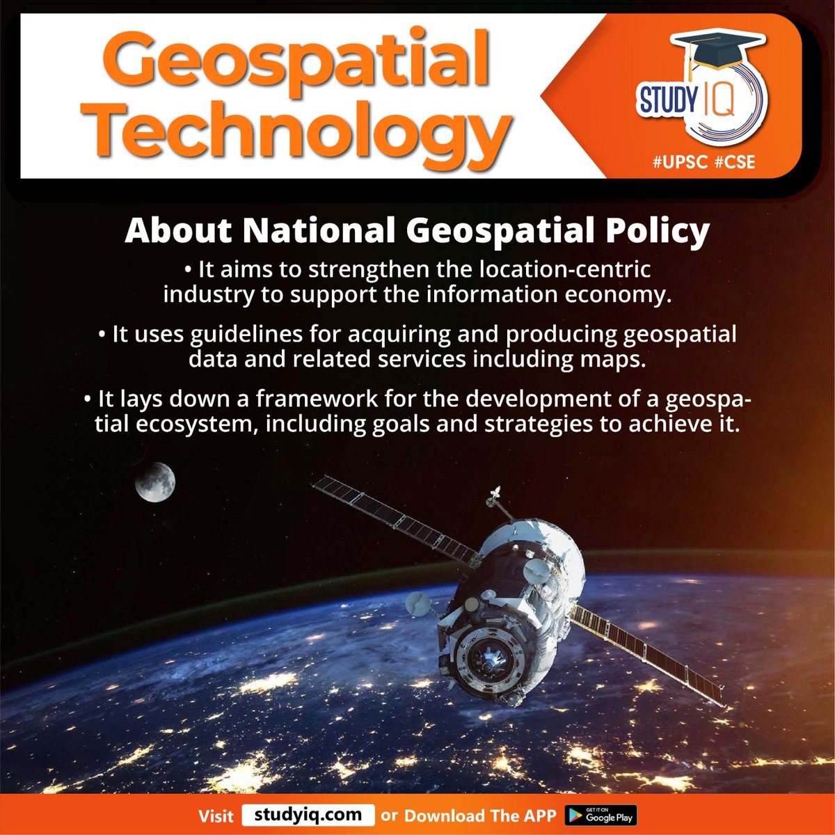
• Learn about India’s National Geospatial Policy 2022 and its alignment with global frameworks like UN-IGIF.
• Gain actionable insights for standards implementation and collaborative approaches shaping India’s future-ready spatial ecosystem.
Date & Time?
📅 𝗡𝗼𝘃𝗲𝗺𝗯𝗲𝗿 𝟮𝟲, 𝟮𝟬𝟮𝟱 | 𝟭𝟰:𝟯𝟬–𝟭𝟵:𝟬𝟬 𝗜𝗦𝗧 | 𝗢𝗻𝗹𝗶𝗻𝗲
Ready to advance India’s geospatial transformation?
Register, participate, and help shape the National Geospatial Standards Implementation Plan.
🔗 𝗥𝗲𝗴𝗶𝘀𝘁𝗲𝗿 𝗻𝗼𝘄 𝘁𝗼 𝗿𝗲𝘀𝗲𝗿𝘃𝗲 𝘆𝗼𝘂𝗿 𝘀𝗽𝗼𝘁: docs.google.com/forms/d/e/1F…
@DrJitendraSingh @karandi65 @IndiaDST
#SurveyofIndia #GeospatialStandards #Interoperability #DataGovernance #UNIGIF #NationalGeospatialPolicy #DigitalIndia #GeospatialPolicy
3
6
161

🚨 People are being stopped at Indian airports—for carrying GPS/GNSS devices.
Yes, it's real.
This webinar unpacks the legal, security & tech issues at stake.
Watch now: youtu.be/9GTEnAqJVBg
#GPSArrest #GeospatialPolicy #TechLaw #India #SecurityVsScience

3
3
1,262

18 Jul 2025
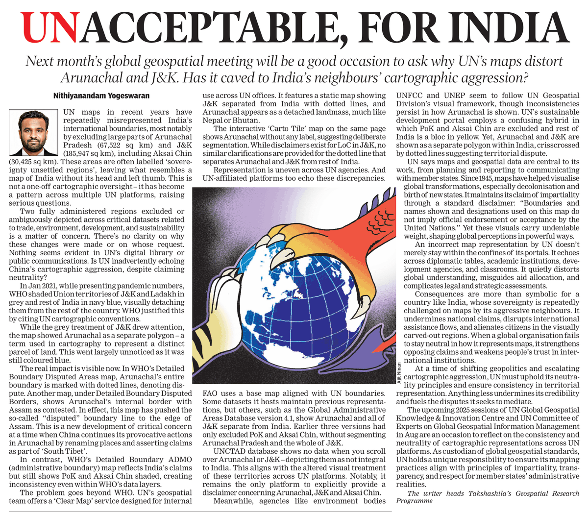
Why are UN maps distorting India's boundaries?
UN agencies have repeatedly misrepresented India’s International borders, excluding most of Arunachal Pradesh and J&K, some databases marking them as “sovereignty unsettled.” Alarmingly, the World Health Organization has shifted the “disputed” boundary into the Assam-Arunachal state line.
This isn’t a one-off cartographic error. From WHO’s “Disputed Area Map” to FAO’s base maps, Is UN inadvertently echoing China’s cartographic aggression?, depicting Arunachal as separate or detaching J&K with dotted lines. These maps appear in public documents, development reports, and sustainability assessments.
Can the UN establish a geospatial framework to address boundary disputes and maintain neutrality, especially when one country aggressively shifts its claims to suit geopolitical interests?
Read my full op-ed for @TOIIndiaNews: timesofindia.indiatimes.com/…
#CartographicAggression #ArunachalPradesh #JammuAndKashmir #IndiaUN #GeospatialPolicy #UNMaps #Geopolitics
3
30
67
8,849
9 Apr 2025
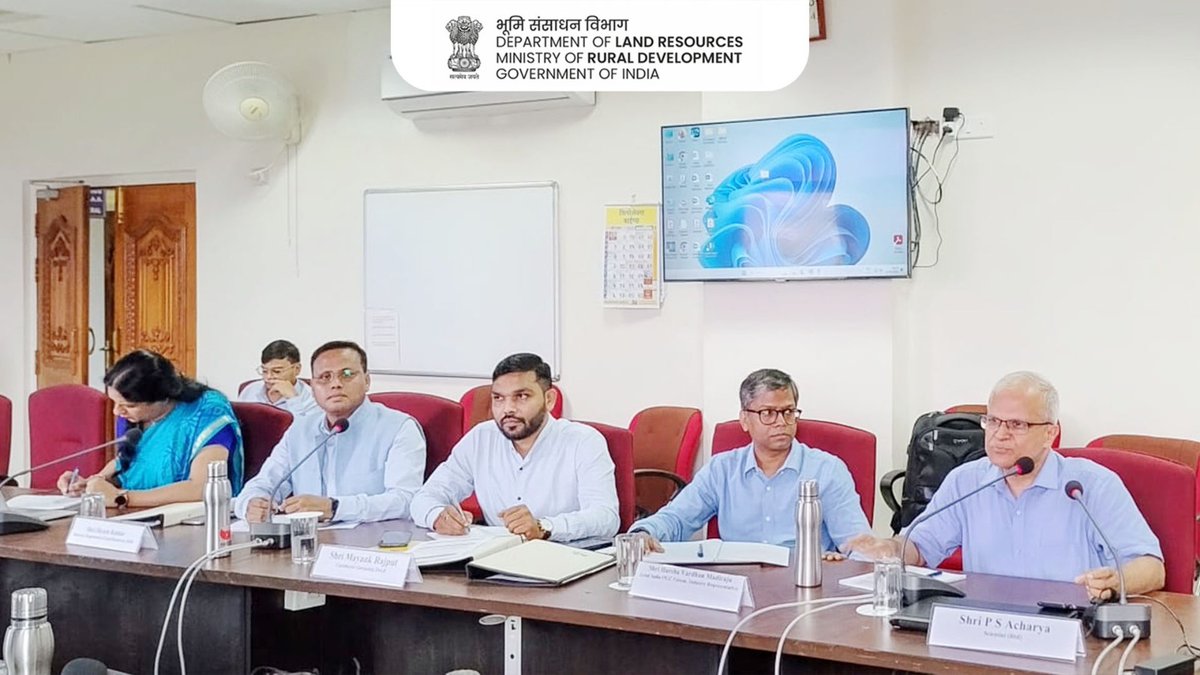
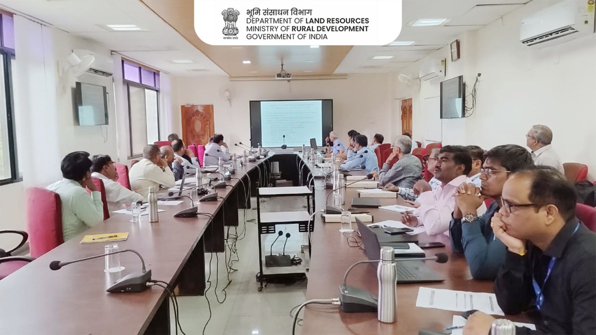
On 3rd April 2025, a high-level meeting was held between Chief Secretary to the Government of Odisha and The Surveyor General of India (SGI) at Chief Secretary Office, Govt. Of Odisha. The senior officials from Survey Of India including Additional Surveyor General(P&C) and Director, Odisha Geospatial Directorate also participated in the meeting.
The Surveyor General of India made a presentation focusing on the National Geo-Spatial Policy 2022 and its components consisting of the National Geodetic Reference Frame, Ortho-Rectified Images, Digital Elevation Models and Geographical names. The Surveyor General of India also highlighted the key National Geodetic assets established by the Survey of India in the state of Odisha.
The Surveyor General of India further presented data from the Integrated Coastal Zone Management (ICZM) and National Hydrology Project (NHP). The Chief Secretary, appreciated the potential of the data generated during these projects in enhancing coastal protection during the time of calamities. The successful initiation of the NAKSHA pilot project in Khordha, Jatni, Baripada, and Jharsuguda was also discussed. The Chief Secretary appreciated NAKSHA project and expressed desire to include Bhubaneswar and Sambalpur in NAKSHA project.
@DrJitendraSingh @karandi65 @IndiaDST
#SurveyOfIndia #SurveyorGeneralOfIndia #GeoSpatialTechnology #GeospatialPolicy #NationalHydrologyProject #OdishaGovt #NAKSHA #OrthoRectifiedImages #DigitalElevationModel #NationalGeodeticAssets
1
4
178

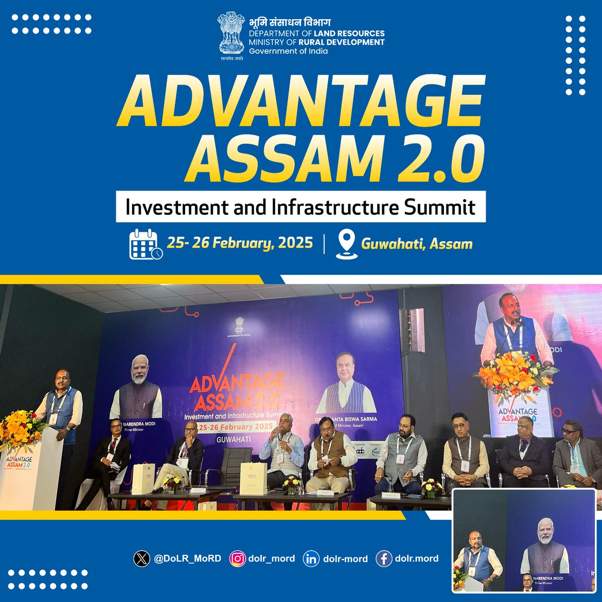
26 Feb 2025
Shri Kunal Satyarthi, Joint Secretary, DoLR as a keynote speaker in Advantage Assam 2.0 spoke on how geospatial & space technologies can transform land records, urban planning, disaster resilience, and sustainable development in Assam. He stressed that the right policies & tech adoption would unlock new opportunities for smart governance & economic growth in Assam.
#GeospatialPolicy #SpaceTech #DigitalLandRecords #SmartGovernance #AdvantageAssam #Innovation
@ChouhanShivraj @PemmasaniOnX @kamleshpassi67 @MoRD_GoI @mygovassam @assampolice
1
144
20 Feb 2025
Must-Attend Webinar for Geospatial Enthusiasts & Industry Folks!
Flying with a handheld GNSS device? Brace for random confiscations, endless questioning, and outright confusion at airports!
The grey zone in security regulations is stifling geospatial research, startups & innovation. It’s time for policy clarity & consistency!
Join this crucial discussion online on 22.02.2025 (Saturday), 10am - 11am.
Register here: docs.google.com/forms/d/e/1F…
Let’s clear the air (and airports) for geospatial innovation towards supporting geospatial ecosystem envisaged by the people-centric geospatial policy !
@KRANTII01 @VGK_India @Arun_Golaya @IndusThink @bhateja_ankit @SAK02209619 @RAJIVESINHA @TakshashilaInst
#GeospatialPolicy #GPSRegulations #Nationalgesospatialpolicy #InnovationBlocked #AviationRules #GNSSIssues
#TechForIndia #PolicyMatters #MappingTheFuture
#AirportConfusion


The rise of Geospatial Technology is shaping India’s future, but unclear airport security regulations on GPS & GNSS devices are creating roadblocks for researchers, professionals, and startups.
Confiscations, inconsistencies, and lack of awareness are disrupting crucial projects and causing financial losses.
This webinar by Chakra Dialogues Foundation brings together industry leaders and experts to discuss policy clarity, regulatory consistency, and actionable solutions to ensure seamless travel for geospatial professionals.
Join the conversation!
Date: 22.02.2025 (Saturday)
Time: 10am-11am
Link- us02web.zoom.us/j/8833954864…
Key Discussion Points:
✅ Clarifying regulations on carrying GPS/GNSS devices
✅ Ensuring policy consistency across airports
✅ Impact on geospatial research, startups & innovation
✅ Proposing actionable solutions for hassle-free air travel
Register Now:
Link: forms.gle/rkLt96PmLfarpJ6D8
Let’s work towards a policy framework that supports innovation while addressing security concerns.
@narendramodi @PMOIndia @KRANTII01 @VGK_India @Arun_Golaya @prof_nithiya @IndusThink @bhateja_ankit @SAK02209619 @RAJIVESINHA

5
6
2,044

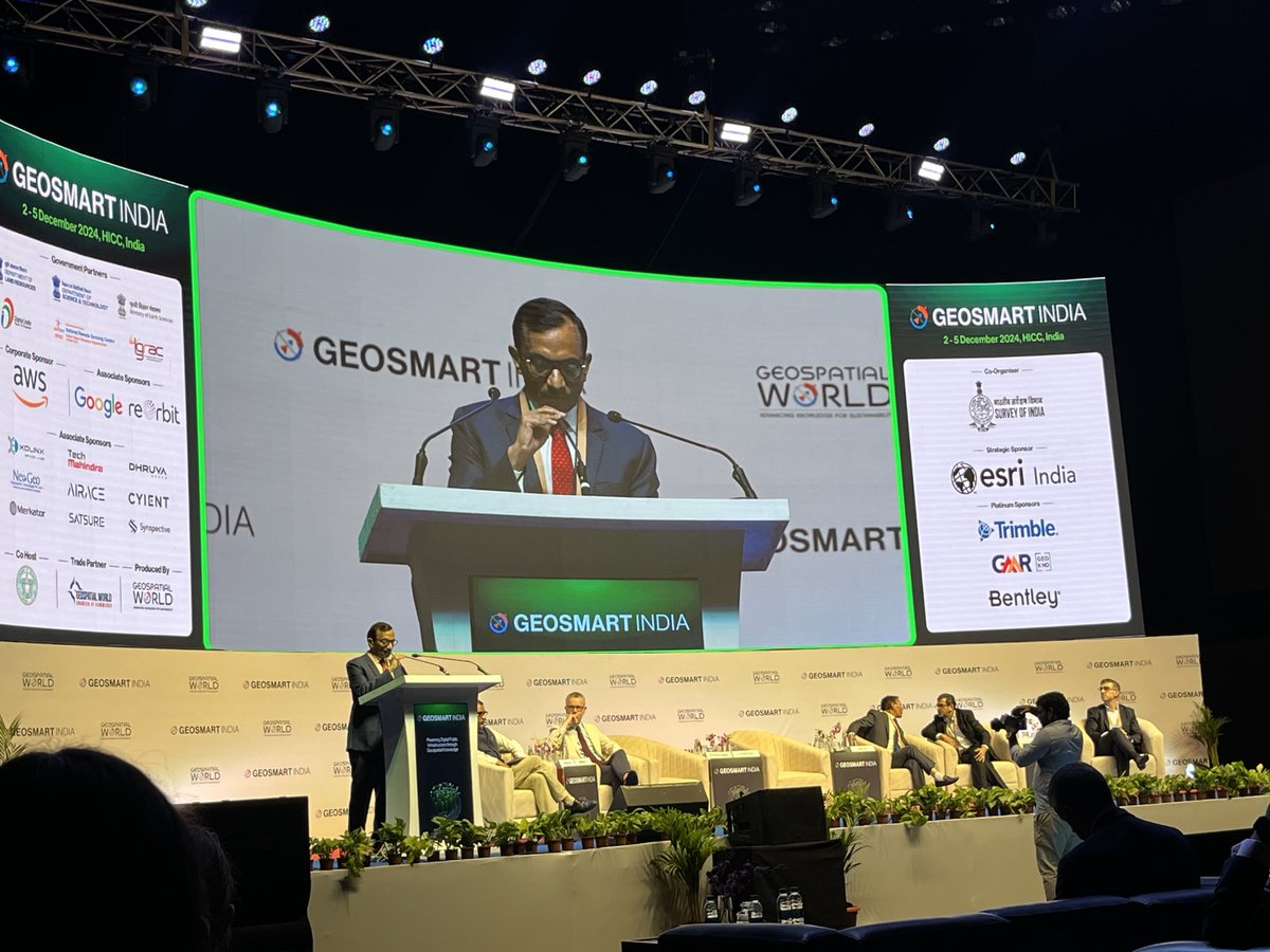
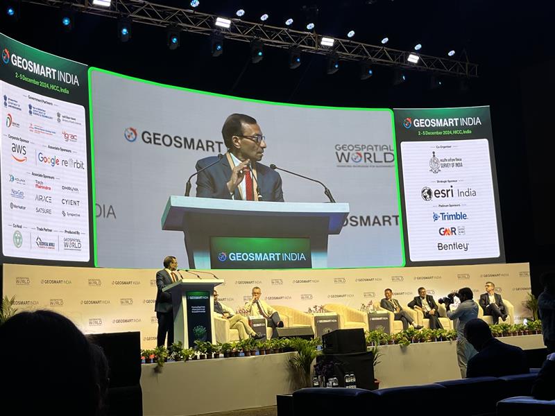
2 Dec 2024
#GeoSmartIndia | #InauguralSession | Dr. Pawan Goenka, Chairman of IN-SPACe, highlighted the synergy between space and geospatial technologies, noting how satellites provide critical data for navigation, disaster management, and more, while geospatial technologies transform this data into actionable insights, driving innovation in industries like logistics, defense, and agriculture.
He remarked, “As the saying goes, ‘Data is the new oil,’ and today, data insights are the driving force of the knowledge economy. Integrating data across workflows is vital for every industry.”
Dr. Goenka also emphasized the impact of the International Space and Geospatial Policies (2022-23) in deregulating the sector, fostering innovation, and boosting private participation. With over 250 space startups and $125 million in private investment last year, India is set to achieve ambitious milestones like the Chandrayaan missions, with the private sector playing a pivotal role in shaping the future.
#SpaceTechnology #GeospatialInnovation #DataEconomy #SatelliteData #GeospatialPolicy #SpacePolicy #Chandrayaan #PrivateSpaceSector #InnovationEconomy #Logistics #Defense #Agriculture #DisasterManagement #DigitalTransformation #INSPACe #StartupsInSpace #IndiaSpaceAmbitions #GeospatialTechnologies
3
331
2 Dec 2024
Another impactful week at the Expert Capsule Course on Geospatial Science & Technology by @TakshashilaInst!
Highlights:
1️⃣ Digital Image processing & Advances in Remote Sensing
2️⃣ Geospatial Policy, led by @VishnuC89499401, delivered an insightful session on the evolving policy landscape.
The feedback keeps us motivated as we gear up for the final week. Stay tuned!
#GeospatialScience #RemoteSensing #GeospatialPolicy #TakshashilaInstitution
#LifelongLearning #DigitalImageProcessing
#GeospatialTech #PublicPolicy #TechEducation
#SpatialIntelligence
2
5
470

30 Nov 2024
The Director General of Tourism Smt Mugdha Sinha and senior officials met with Shri Binod Kumar Singh, Director, NATMO, in Kolkata to discuss strategic mapping solutions for tourism and the onboarding of NATMO as the official Map Making Agency.
As a premier organization under the Ministry of Science, NATMO’s expertise in thematic mapping and atlas creation aligns with India’s Geospatial Policy, enhancing precision and innovation in tourism planning.
#NATMO #MinistryOfTourism #GeospatialPolicy #Kolkata #MappingInnovation
@gssjodhpur @TheSureshGopi @Suman_Billa @Mugdhareads @incredibleindia @PIB_India @PIBTour @natmodst
2
10
949
20 Jul 2024
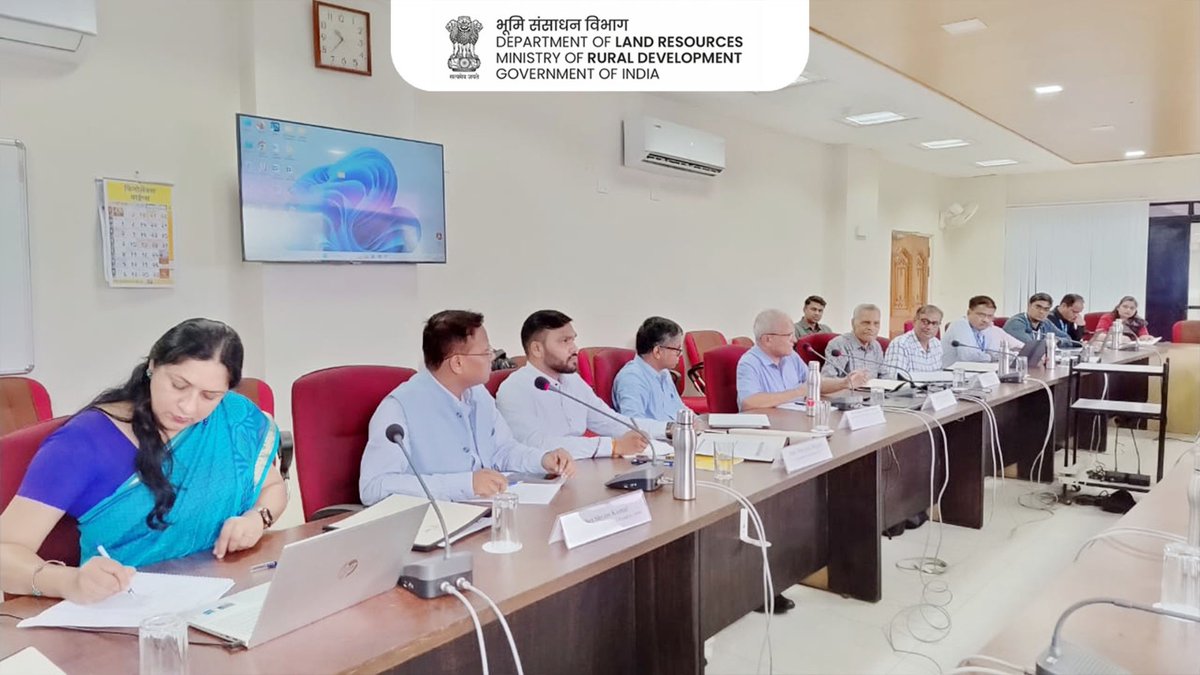
On 20th July 2024, a meeting of the Thematic Working Group on Land Parcels was held at YASHADA Pune as outlined in the National Geospatial Policy (NGP) 2022. Discussions focused on the standardization of land and registration-related data.
#NGP2022 #GeospatialPolicy #dolr #mord
1
2
8
152

Prof. @karandi65 Secretary @IndiaDST emphasised that new initiatives like #NQM, #NMICPS, #ANRF, #GeospatialPolicy, #CleanEnergy , #Hydrogen Mission are leapfrogging R&D culture for the future.
@guptaakhilesh63 @DrNKalaiselvi @Dhana_Arumugam1 @sgi_soi @PIB_India @DDNewslive
1
5
656

4 Apr 2024
#GeospatialPolicy will transform various sectors just like UPI did: #CrayonData Co-founder Srikant Sastri
economictimes.indiatimes.com…
2
1
2,911
4 Jan 2024
Excited to share my recent audio podcast, "A Year Ahead for India's Geospatial Policy", with Sachin Kalbag!
Listen ➡️ open.spotify.com/episode/41z…
Learn more ➡️ geospatialbulletin.substack.…
#GeospatialPolicy #India #PodcastDiscussion @TakshashilaInst @SachinKalbag @IVMPodcasts
2
66
9 Mar 2023
An effort to introduce geospatial technolgy and geospatial policy 2022 to layman! @TakshashilaInst
@IndiaKrantii
#geospatialpolicy #geospatial
youtu.be/zLyfKj99ziM

2
6
284


21 Feb 2023
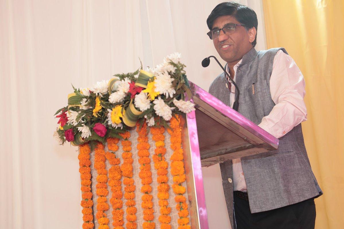
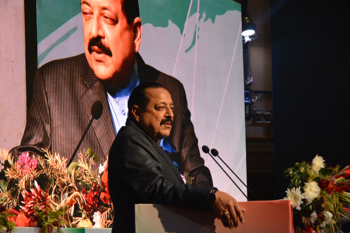
Union Minister @DrJitendraSingh talked about making #GeoSpatialPolicy more easily understood and accessed by citizens .He was Speaking at “Conference On GeoSpatialPolicy For National Development today in Delhi .
2
1
15
995

30 Dec 2022
India's geospatial sector reforms are historic. Special thanks to @sanjeevsanyal ji for driving and championing this policy shift. #geospatialpolicy @MapmyIndia
30 Dec 2022

The National Geospatial Policy has been released and has defined clearly goals and responsible agencies. I am sure it will help to strengthen geospatial sector in the country and facilitate economic development. Hope that it is implemented as soon as possible.
6
403