
Feb 20
Let’s keep building smarter. See you in Week 4 🚀
#SDSSN #FeatureFriday #SpatialAutomation #SpatialDataScience #PythonForGIS #GISProgramming #Week3Sprint
1
2
Feb 20
That’s how analysts become workflow designers.
💡 Thursday Question:
What input in your workflow changes most often distance? file path? projection?
That input should probably be a parameter.
#SDSSN #ThursdayThinking #PythonForGIS #SpatialAutomation #SpatialDataScience
1
5
Feb 17
💡 Tech Tuesday Challenge:
What task in your workflow should run automatically every time new data is added?
Drop it below 👇 let’s automate smarter together!
#SDSSN #TechTuesday #SpatialAutomation #GISWorkflow #PythonForGIS
1
5
Feb 12
Share your experience in the comments! Let’s help others break out of the "Button Trap." 👇
#SDSSN #MidWeekMasterclass #PythonForGIS #ForLoops #Automation
1
3
Feb 11
Write your "Pseudo-code" (logic in plain English) in the comments and let’s see if we can turn it into a real script together! 👇
#SDSSN #MidWeekMasterclass #PythonForGIS #ForLoops #Automation #DataScience #SpatialLogic #Week1Sprint
1
7
Jan 20
By mastering this pipeline, you stop being a map-maker and start being a Spatial Architect.
#GISAutomation #SpatialDataScience #PythonForGIS #GeoAI #SDSSN
1
5
Jan 19
Educational Tip: Start by identifying any task you do more than three times. That is your first candidate for a Python script.
#GISAutomation #PythonForGIS #GeoAI #SpatialDataScience #APIs
1
7

21 Dec 2025
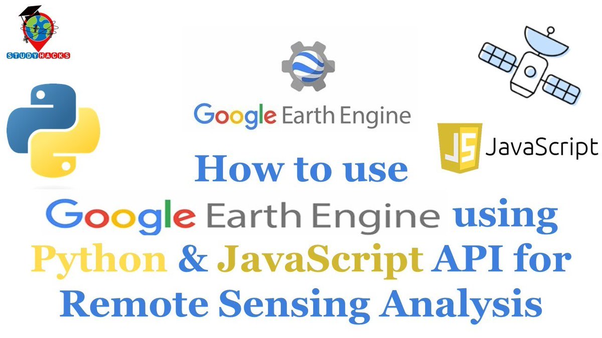
🚨🛰️ NEW TUTORIAL ALERT!
How to Use Google Earth Engine Using Python API
Tutorial Link: youtube.com/live/Ql-yJ80-JWE…
Reg.Info:
studyhacksgeospatial.com/goo…
#GoogleEarthEngine #PythonAPI #RemoteSensing #GIS #GeoAI #PythonForGIS #EarthObservation #MachineLearning #StudyHacks
1
10
67
3,330

17 Dec 2025
Hello
In this Tutorial youtu.be/VO87psxFc_Y, we will introduce you to simple Python tasks for geospatial analysis.
Thank you.
#pythonforgis #geospatialanalysis #gispython #latlong #surveying #pythonbasics #geomatics #pythonforgis #geospatialanalysis #gispython #geomatics
1
113

22 Oct 2025
At AI Geo Navigators, we use GIS to innovate, ensure accuracy, and make spatial analysis smarter every day.
GIS (Geographic Information Systems) allows us to explore new technologies, maintain clean and structured databases, and go beyond traditional maps to create innovative solutions.
We believe that every GIS challenge is an opportunity to think differently and improve how data is visualized, analyzed, and shared.
#AIGeoNavigators #GIS #GeographicInformationSystems #MappingSolutions #DataDrivenDecisions #SmartMapping #GeospatialTechnology #GISInnovation #SpatialData #DigitalMapping #PythonForGIS #GeoAnalytics #GISExperts #TechForSustainability #SpatialIntelligence #GISCommunity #GISApplications #LocationIntelligence
7
41
27 Jul 2025
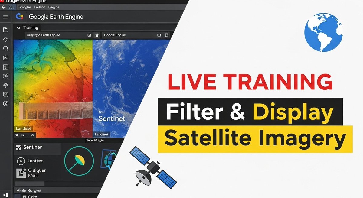
Google Earth Engine Tutorial: How to Filter and Display Satellite Imagery in Google Earth Engine?
Tutorial Link: youtu.be/jXbGFIxRxtw?si=ECmm…
#GoogleEarthEngine #RemoteSensing #GIS #GeospatialAnalysis #EarthObservation #GEETraining #PythonForGIS #JavaScriptForGIS #NonCodersWelcome
7
58
2,038

11 Jun 2025
Day 60
Today's #Python task: Understanding how functions work!
📌 Wrote my own functions
📌 Used parameters & return values
📌 Realized how powerful simple code can be
Step by step, coding is making more sense! 🔁💡
#GISDeveloper #LearningToCode #PythonForGIS
1
28
9 Jun 2025
Day 58
Exploring #Python for GIS development and truly enjoying the process!
Clean syntax, powerful logic, and endless possibilities—
every session feels like progress.
Building the foundation one script at a time.
#GIS #PythonForGIS #GeoInformatics #GISDeveloperJourney
2
27

16 Feb 2025
Geospatial ML🌍📊
In this episode, we fine-tune a Random Forest model using GridSearchCV to improve accuracy & avoid overfitting. 🎯
Are you optimizing your models? Let’s discuss!
#GIS #MachineLearning #DataScience #PythonForGIS #SpatialAnalysis
medium.com/@williams_dev/geo…
18

30 Oct 2024
A small article on the Future of #Geospatial Technologies 🌍 : Shaping Our World with Code and Data #gischat #earthengine #pythonforGIS 👇🏾 medium.com/@kimutai.lawrence…

2
11
74
3,808

27 May 2023
Python Libraries for Remote Sensing and GIS,
'Comment your favorite Python lib !
:
:
:
:
:
--------
If you need any services or support, please reach out to me at sakthispatial@gmail.com
my portfolio site: sakthigis.com/
--------
#pythonforgis…lnkd.in/g_ufcsp3
2
139