
21 Dec 2025
🚨🛰️ NEW TUTORIAL ALERT!
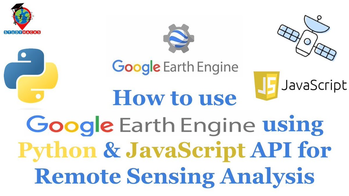
How to Use Google Earth Engine Using Python API
Tutorial Link: youtube.com/live/Ql-yJ80-JWE…
Reg.Info:
studyhacksgeospatial.com/goo…
#GoogleEarthEngine #PythonAPI #RemoteSensing #GIS #GeoAI #PythonForGIS #EarthObservation #MachineLearning #StudyHacks
1
10
67
3,330

22 Oct 2025
At AI Geo Navigators, we use GIS to innovate, ensure accuracy, and make spatial analysis smarter every day.
GIS (Geographic Information Systems) allows us to explore new technologies, maintain clean and structured databases, and go beyond traditional maps to create innovative solutions.
We believe that every GIS challenge is an opportunity to think differently and improve how data is visualized, analyzed, and shared.
#AIGeoNavigators #GIS #GeographicInformationSystems #MappingSolutions #DataDrivenDecisions #SmartMapping #GeospatialTechnology #GISInnovation #SpatialData #DigitalMapping #PythonForGIS #GeoAnalytics #GISExperts #TechForSustainability #SpatialIntelligence #GISCommunity #GISApplications #LocationIntelligence
7
41
27 Jul 2025
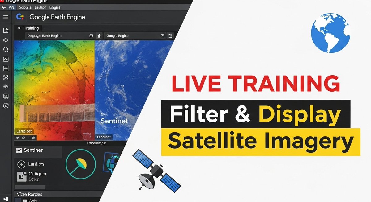
Google Earth Engine Tutorial: How to Filter and Display Satellite Imagery in Google Earth Engine?
Tutorial Link: youtu.be/jXbGFIxRxtw?si=ECmm…
#GoogleEarthEngine #RemoteSensing #GIS #GeospatialAnalysis #EarthObservation #GEETraining #PythonForGIS #JavaScriptForGIS #NonCodersWelcome
7
58
2,038

30 Oct 2024
A small article on the Future of #Geospatial Technologies 🌍 : Shaping Our World with Code and Data #gischat #earthengine #pythonforGIS 👇🏾 medium.com/@kimutai.lawrence…

2
11
74
3,808

27 May 2023
Python Libraries for Remote Sensing and GIS,
'Comment your favorite Python lib !
:
:
:
:
:
--------
If you need any services or support, please reach out to me at sakthispatial@gmail.com
my portfolio site: sakthigis.com/
--------
#pythonforgis…lnkd.in/g_ufcsp3
2
139